

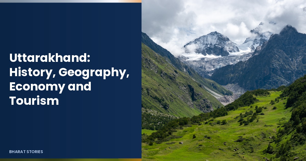
Uttarakhand: History, Geography, Economy and Tourism
Uttarakhand is a Himalayan state in north India, known for high peaks, river sources and pilgrimage towns. It was carved out of Uttar Pradesh on 9 November 2000. Dehradun serves as the winter capital, while Bhararisain in the Gairsain area is the summer capital. For a pilgrimage city inside the state, see our guide to Haridwar. For another Himalayan state profile, see Sikkim.
This updated profile covers Uttarakhand’s history, geography, government, economy and tourism, with details checked for November 2026. The old version was short and used a misspelled tourism word in the title, so the page has been rewritten in full. The URL slug is unchanged.
Table of Contents
Uttarakhand at a Glance
| Item | Detail |
|---|---|
| Winter capital | Dehradun |
| Summer capital | Bhararisain (Gairsain area) |
| Area | About 53,483 square km |
| Population | 1,00,86,292 (Census 2011) |
| Statehood | 9 November 2000 |
| Districts | 13 |
| Chief Minister | Pushkar Singh Dhami |
| Governor | Dr. Dhal Singh Bisen (since 19 October 2026) |
| Legislature | 70 seat assembly; 5 Lok Sabha seats |
History of Uttarakhand
Early and medieval times
The central Himalaya have long been home to hill communities and to pilgrimage routes toward the sources of the Ganga and Yamuna and toward high Shiva and Vishnu shrines. Dynasties such as the Katyuris and later the Chand rulers in Kumaon and the Panwar line in Garhwal shaped local politics before larger empires pressed in.
Garhwal, Kumaon and colonial rule
Garhwal and Kumaon developed as distinct cultural regions with their own dialects, temples and town centres such as Almora and Srinagar Garhwal. Under colonial rule the hills were linked more tightly to the plains for timber, administration and recruitment. Hill stations and cantonments grew in the nineteenth and early twentieth centuries.
Statehood movement
After independence the hills remained part of Uttar Pradesh. A long statehood movement argued that mountain districts needed separate focus on roads, education and disaster response. Uttarakhand (briefly named Uttaranchal at birth) was created on 9 November 2000. The present name was adopted later.
Geography
Himalaya and rivers
Northern districts hold high Himalayan peaks, glaciers and alpine valleys. Nanda Devi and the Valley of Flowers are UNESCO World Heritage Sites. The Ganga and Yamuna begin in these mountains. Middle hills carry oak and pine forests; the southern belt meets the plains near Haridwar and Udham Singh Nagar.
Climate and hazards
Heights create sharp climate differences within short distances. Summers are mild in hill towns and hot in the plains fringe. Winters bring snow at higher altitudes. Monsoon rain and cloudbursts can trigger landslides and floods; travellers should track local advisories in the rainy season.
Administrative divisions
The 13 districts are often grouped into Garhwal and Kumaon divisions. Dehradun, Haridwar, Nainital, Almora, Chamoli, Uttarkashi and Pithoragarh are among the better known names for visitors.
Government and Politics
The state has a 70 member assembly and 5 Lok Sabha seats. Pushkar Singh Dhami is Chief Minister. Dr. Dhal Singh Bisen was sworn in as Governor on 19 October 2026, succeeding Lt Gen Gurmeet Singh (retired). Disaster management, migration from villages, tourism and hydropower are recurring policy themes.
Economy
Tourism and pilgrimage
Tourism is a core pillar. The Char Dham circuit of Yamunotri, Gangotri, Kedarnath and Badrinath draws huge seasonal crowds. Hill towns such as Mussoorie, Nainital and Ranikhet serve leisure travellers. Adventure sports and trekking add another stream in summer.
Agriculture, horticulture and industry
Terraced farming, fruit orchards and tea in some pockets support rural incomes. Hydropower projects use steep rivers. Dehradun and Haridwar host education, services and industry. For one education path in the state, see our note on nursing college options in Uttarakhand.
Top Places to Visit
- Char Dham: Yamunotri, Gangotri, Kedarnath and Badrinath, usually open in warmer months.
- Haridwar and Rishikesh: Ganga aarti, temples and yoga centres on the plains fringe.
- Dehradun and Mussoorie: the capital region and a classic hill station nearby.
- Nainital and the lake belt: lakeside towns in Kumaon.
- Valley of Flowers and Hemkund: high monsoon meadows and a Sikh pilgrimage site (seasonal access).
- Jim Corbett National Park: tiger reserve in the foothills.
- Auli and winter sports belts: for snow views and skiing when conditions allow.
April to June and September to November are popular. Monsoon travel needs caution. Winter is beautiful but cold, with some high roads closed by snow.
People and Culture
Garhwali and Kumaoni traditions, folk songs, and temple fairs shape cultural life. Cuisine uses local grains, leafy greens and simple mountain recipes. Respect for temple rules and fragile alpine paths helps keep tourism sustainable. Outmigration from remote villages is a social theme that many families know first hand.
Travel Practicalities in Uttarakhand
Reach Dehradun by air or rail, then continue by road to hill towns. The plains fringe around Haridwar and Rishikesh is easier in summer heat than high shrines. Char Dham routes need fitness, warm layers and respect for altitude. Older travellers often split the circuit across more days.
Landslides and sudden weather changes can close roads for hours or days in the monsoon. Keep medicines, snacks and power banks in hand luggage, not only in the boot. Inform family of daily plans when you enter low signal zones.
Book stays early for May, June and the autumn festival window. Homestays in quieter villages spread tourism income beyond main bazaars. Carry a refill bottle; many towns limit single use plastic.
Wildlife tourism in Corbett and other parks runs on registered safaris. Do not walk into core areas on foot. Keep noise down and never feed animals.
Temple towns have their own queues and offering customs. Cameras may be restricted inside sanctums. During winter, some high shrines close and lower towns become the focus.
Adventure operators for rafting, skiing or paragliding should show safety gear and permits. Cheap offers that skip helmets or guides are not bargains. Insurance that covers adventure sports is worth checking before you pay.
Local languages and Hindi cover daily needs; English appears in tourist belts. Respect village water sources and do not litter ridgelines. A small bag for your own waste is a simple habit that helps fragile trails.
Birdwatchers visit foothill forests in winter when migrants arrive. Carry binoculars and stay on marked paths.
Homestay kitchens often serve simple pahadi meals; tell hosts about allergies early.
ATM networks thin out above certain towns; withdraw cash in Dehradun or Haldwani before climbing higher.
Temple committees sometimes publish online slots for special days; using them cuts queue stress.
Respect silent zones near ashrams in Rishikesh. Loud Bluetooth speakers on trails annoy people and wildlife.
Seasonal flower blooms in alpine meadows depend on snowmelt timing; local guides know the current window.
Ropeway tickets in some hill towns sell out by midday in peak season.
Students on college trips should register with hostel wardens before overnight treks.
Hot sweet tea stalls appear on many routes; carry small change.
Wildlife warning signs on forest roads mean slow driving after dusk.
Keep a whistle on long solo walks; phone signal is not a guarantee.
Winter sunlight is weak for charging panels; do not rely on solar alone for navigation.
Village haats sell local produce; ask before photographing sellers at close range.
Local radio bulletins often announce road openings after landslides faster than national news feeds.
Shared taxis wait to fill seats; ask the price to your exact drop point before sitting down.
Monastery visits in some border areas need permits; check district offices in advance.
Carry ORS sachets for mild altitude stomach upset; seek care if symptoms worsen.
Festival drums and processions can block market lanes for an hour; patience helps.
Frequently Asked Questions
Who is the Chief Minister of Uttarakhand in 2026?
Pushkar Singh Dhami.
Who is the Governor of Uttarakhand?
Dr. Dhal Singh Bisen, sworn in on 19 October 2026.
When was Uttarakhand formed?
On 9 November 2000.
How many districts does Uttarakhand have?
13 districts.
What is the Char Dham?
The pilgrimage circuit of Yamunotri, Gangotri, Kedarnath and Badrinath.
Mobile networks can be weak on high mountain roads; download offline maps before you go.
Altitude sickness is real above roughly 2,500 to 3,000 metres; ascend gradually when you can.
Plastic waste rules are stricter in many hill towns; carry a refill bottle.
Helicopter services to some shrines run only in fair weather and sell out in peak season.
Local buses are cheap but slow; shared taxis fill gaps between towns.
Temple towns can be crowded at dawn and during festival weeks.
Wildlife parks require safari bookings; do not walk in core tiger areas.
Winter tyres or chains may be needed on high passes after snowfall.
Mountain rescue contacts are published by district administrations for peak seasons.
Yak or mule transport on some treks should use operators who treat animals well.
Hot springs exist in a few valleys; test temperature before full immersion.
School holiday weeks raise traffic on Mussoorie and Nainital roads.
Carry photocopies of ID separate from the originals on long treks.