

Jharkhand: History, Geography, Economy and Tourism
Jharkhand is a state in eastern India known for its forests, waterfalls, tribal cultures and vast mineral wealth. The name means “land of forests”. It was carved out of southern Bihar in 2000 and is now one of the main sources of India’s coal and steel. This guide covers Jharkhand’s history, geography, economy and tourism, with details updated for October 2026.
Table of Contents
Quick Facts
| Item | Detail |
|---|---|
| Capital | Ranchi |
| Area | 79,716 square kilometres |
| Population (2011 census) | 32,988,134 |
| Districts | 24 |
| Statehood | 15 November 2000 |
| Assembly seats | 81 |
| Highest point | Parasnath hill, 1,365 metres |
| Chief minister | Hemant Soren |
History
Early Times
The Chota Nagpur plateau has some of the oldest traces of human life in eastern India, including stone tools and rock paintings. Tribal communities such as the Munda, Oraon, Ho and Santhal have lived here for many centuries, with their own systems of village government and land use. Parts of the region came under the Mauryas and later kingdoms of the Gangetic plains, but the forests kept much of it outside direct control.
Local Dynasties and the Mughals
The Nagvanshi rulers held the Chota Nagpur area for a long period, and the Chero kings ruled Palamu, where the ruins of their forts still stand. The Mughals sent expeditions into the region for its diamonds and forest products and drew tribute from local chiefs, but never fully ruled the hills.
British Rule and Tribal Uprisings
After the East India Company won control of Bengal and Bihar in the 1760s, new land and tax systems brought outside landlords, moneylenders and traders into tribal areas. Anger over lost land led to a series of revolts. The Kol uprising of 1831 and 1832 was followed by the Santhal Hul of 1855, led by the brothers Sidhu and Kanhu Murmu. Between 1899 and 1900, Birsa Munda led the Ulgulan, or great tumult, against colonial rule and land seizure. He died in British custody in 1900 at the age of about 25 and is honoured across India.
These struggles pushed the British to pass laws protecting tribal land, such as the Chota Nagpur Tenancy Act of 1908. The Santhal Pargana Tenancy Act followed in 1949.
The Road to Statehood
Demands for a separate Jharkhand state began in the early 20th century and grew after independence. Jaipal Singh Munda, the former hockey captain, led the Jharkhand Party in the 1950s, and the Jharkhand Mukti Morcha later took up the cause. Parliament passed the Bihar Reorganisation Act in 2000, and Jharkhand became India’s 28th state on 15 November 2000, the birth anniversary of Birsa Munda.
Politics Today
Hemant Soren of the Jharkhand Mukti Morcha was sworn in as chief minister on 28 November 2024, after his alliance won a majority in the assembly election. He remains in office in October 2026.
Geography
Jharkhand lies almost entirely on the Chota Nagpur plateau. It borders Bihar to the north, West Bengal to the east, Odisha to the south, Chhattisgarh to the west and Uttar Pradesh to the north west. The land is a mix of hills, forests, river valleys and flat uplands. Parasnath hill in Giridih district is the highest point.
Rivers and Forests
The main rivers are the Damodar, Subarnarekha, Koel, Barakar and Ajay. Many fall over rocky edges of the plateau, which gives the state its famous waterfalls. Forests cover close to a third of the land, with sal trees, bamboo and mahua common. Elephants, leopards, sloth bears and many birds live in the forests, and the Palamau Tiger Reserve around Betla was among the first nine tiger reserves set up under Project Tiger in 1973.
Climate
Summers are hot, especially in April and May, though Ranchi and Netarhat stay cooler because of their height. The monsoon brings most of the year’s rain from June to September. Winters are mild and dry, with cold nights in the higher areas.
Economy
Mining and heavy industry drive the economy. Jharkhand holds a large share of India’s coal, iron ore, copper, uranium, mica and bauxite. The Jharia and Bokaro coalfields near Dhanbad are among the biggest in the country, and Dhanbad is often called India’s coal capital.
Steel has shaped the state. Jamsetji Tata’s plan led to the steel works at Jamshedpur, set up in 1907, and the city grew around it. The Bokaro Steel Plant is another major producer. Engineering, cement, power plants and the Heavy Engineering Corporation in Ranchi add to the industrial base.
Even so, most people depend on farming, mainly rice grown on rain fed fields, along with pulses, maize and vegetables. Forest produce such as lac, tussar silk, tendu leaves and mahua flowers supports many tribal families. Jharkhand is one of the leading producers of tussar silk and lac in India.
Education and Cities
Ranchi, Jamshedpur, Dhanbad and Bokaro are the largest cities. The state has several well regarded institutions: IIT (ISM) Dhanbad, founded in 1926 as the Indian School of Mines, the Birla Institute of Technology at Mesra, IIM Ranchi, set up in 2010, and an AIIMS at Deoghar. Even so, literacy and health indicators in rural and tribal areas remain below the national average, and improving schools and clinics is a major task for the state.
Challenges
Mining has brought jobs and revenue, but it has also displaced villages, cleared forests and polluted rivers in some areas. Questions of land rights, fair compensation and forest rights for tribal families remain at the centre of politics in the state. Coal fires in Jharia, which have burned underground for about a century, are one of the best known environmental problems.
Tourism
Jharkhand is less visited than many states, but it rewards travellers who like nature and history. Popular places include:
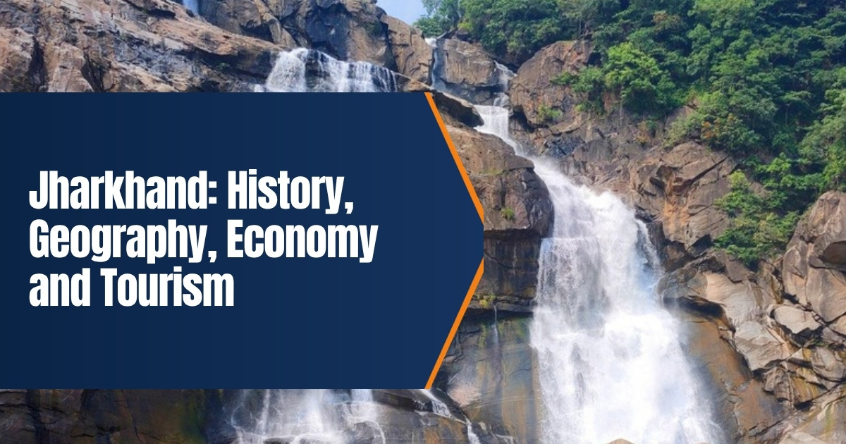
- Waterfalls near Ranchi. Hundru Falls, where the Subarnarekha drops about 98 metres, along with Dassam, Jonha and Hirni.
- Netarhat. A plateau hill station known for sunrise and sunset views.
- Betla National Park. Part of the Palamau Tiger Reserve, with elephants, deer and old Chero forts.
- Deoghar. The Baidyanath temple, one of the twelve jyotirlingas, which draws huge crowds during the Shravani Mela.
- Parasnath hill. Shikharji, one of the holiest sites in Jainism.
- Rajrappa. The Chhinnamasta temple where the Bhairavi and Damodar rivers meet.
- Jamshedpur. Jubilee Park and the Dalma wildlife sanctuary nearby.
Culture
Hindi is the main official language, and languages such as Santali, Mundari, Ho, Kurukh, Bengali and Urdu also have official status. Sarhul, a spring festival that honours the sal tree, Karma and Sohrai are the major tribal festivals, and Chhath is widely celebrated too. Sohrai and Khovar wall paintings, made by women in villages of Hazaribagh, received a geographical indication tag in 2020. Dances such as Chhau and Paika are performed at fairs. Cricketer M. S. Dhoni, from Ranchi, is the state’s most famous sporting name.
Food
Jharkhand food is simple and based on rice, lentils and local greens. Dhuska, a deep fried bread made from rice and lentil batter, is a common breakfast, often eaten with potato or chickpea curry. Litti chokha is shared with Bihar. Rugra, a wild mushroom gathered in the monsoon, is a seasonal treat, and thekua and pitha are made for festivals. Bamboo shoots and leafy greens such as saag appear in many village dishes.
Getting Around
Birsa Munda Airport in Ranchi is the main airport, and Deoghar got its own airport in 2022. Ranchi, Dhanbad, Tatanagar near Jamshedpur and Bokaro are busy railway junctions with trains to Kolkata, Delhi, Patna and the south. Roads link the waterfalls and parks to Ranchi, but some remote areas still have limited bus services, so hiring a car with a local driver is often easiest.
Learn more through our guide to neighbouring Bihar, from which Jharkhand was formed, our profile of IIM Ranchi, and our article on Chhath Puja. Our guide to Odisha covers another state on the same plateau.
Waterfall pools can be deep and slippery after rain, so visitors should stay behind barriers and follow local guards.
Betla is usually closed to visitors during the monsoon months, so check the forest department’s notice before planning a safari.
Mobile signal can be weak in forest areas such as Netarhat and Betla, so download maps before setting out.
The Shravani Mela in Deoghar draws very large crowds in July and August, so travellers should book rooms early.
What We Changed From the Old Post
The old post was short and machine spun, with phrases such as “imparts its history to Bihar”. It also repeated a claim about a 13th century ruler that we could not confirm. We rewrote it in plain English, removed the dash from the title, and added a quick facts table, the tribal uprisings and the statehood movement, the current chief minister, rivers, forests and climate, the mining and steel economy, places to visit and a culture section.
Frequently Asked Questions
When was Jharkhand formed?
On 15 November 2000, from the southern part of Bihar.
What is the capital of Jharkhand?
Ranchi is the capital. Jamshedpur and Dhanbad are the other large cities.
What is Jharkhand famous for?
Coal and iron ore, the steel city of Jamshedpur, waterfalls, Deoghar’s Baidyanath temple and its tribal heritage.
When is the best time to visit?
October to March is the most pleasant. Waterfalls are fullest just after the monsoon.