

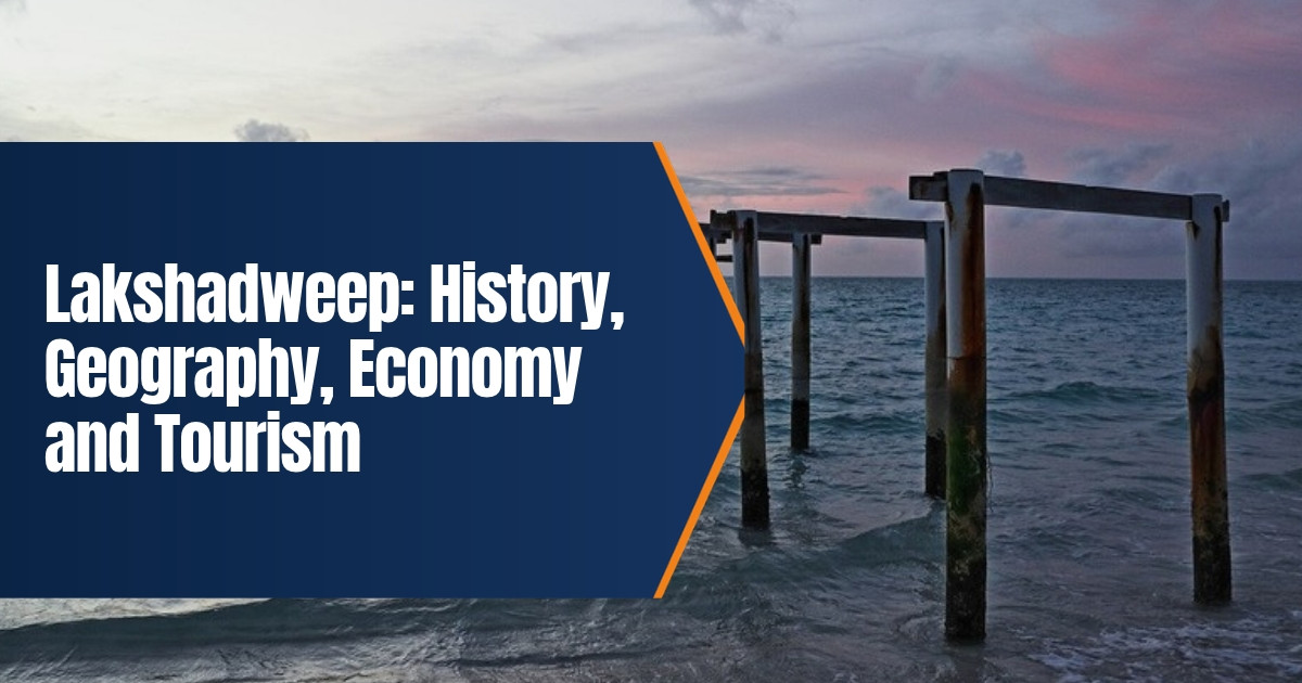
Lakshadweep: History, Geography, Economy and Tourism
Picture a scatter of coral islands in the Arabian Sea, so low and so small that the lagoons around them are bigger than the land. That’s Lakshadweep. It is India’s smallest union territory, it lies far off the Kerala coast, and it doesn’t feel like anywhere else in India.
Thinking of going? Here’s the full picture: geography, a long history of sailors and kingdoms, how people earn a living, and what you need to know about tourism and permits in 2026.
Table of Contents
Lakshadweep at a Glance
| Item | Detail |
|---|---|
| Status | Union territory of India, administered as a single district |
| Capital | Kavaratti |
| Number of islands | 36, of which 10 are inhabited |
| Land area | About 32.62 square kilometres |
| Population | 64,473 (Census 2011) |
| Distance from mainland | About 220 to 440 km off the Malabar coast |
| Languages | Jeseri (a Malayalam dialect), Mahl on Minicoy, English for official use |
| Main airport | Agatti |
What the Name Means
Lakshadweep means “a hundred thousand islands” in Sanskrit and Malayalam. It’s poetry, not arithmetic. Under the British the group was called the Laccadives, which is just an anglicised version of the same word.
A couple of older names hang on. The northern cluster is still the Amindivi Islands, after the early settlers of Amini. Down south, people on Minicoy call their island Maliku. The single name Lakshadweep only came into use in 1973.
Geography of Lakshadweep
Here’s the bit most people don’t know. The islands sit on top of an underwater mountain range, the Chagos Lakshadweep Ridge, which keeps running south to the Maldives and the Chagos Archipelago. What pokes above the water are atolls, reefs and submerged banks that corals have built up over thousands of years.
There are three groups. The Amindivi Islands are in the north. The Laccadive Islands take the middle. And Minicoy, an atoll on its own, sits way down south, past the Nine Degree Channel.
Now the numbers, because they’re a little startling. Put every island together and you get only about 32.62 square kilometres of land, with roughly 132 kilometres of coastline. The lagoons? Around 4,200 square kilometres. Territorial waters run to about 20,000 square kilometres, and the exclusive economic zone to about 400,000. So Lakshadweep is mostly sea.
People live on ten islands: Kavaratti, Agatti, Amini, Kadmat, Kiltan, Chetlat, Bitra, Andrott, Kalpeni and Minicoy. Andrott is the biggest by area. Bitra is the smallest one with residents. Most of them stand only a few metres above the sea, so storms, coastal erosion and rising sea levels linked to climate change are real worries, not distant ones.
Weather wise, it’s tropical. Expect something like 25 to 32 degrees Celsius most days. The southwest monsoon rolls in around late May or June and the heavy rain lasts until about September. Boats often can’t run in that season, which is why October to May is when tourists go.
History of Lakshadweep
Early settlement and ancient trade
People have been here a long time. Finds from Kalpeni suggest settlement from at least 1500 BCE. The islands turn up in Buddhist Jataka tales, and Tamil Sangam literature says the Chera kings ruled the area.
Then there’s Ptolemy. Writing in the second century CE, the Greek geographer listed islands opposite Sri Lanka with names that sound a lot like Kavaratti, Agatti, Amini and Minicoy. Roman coins have turned up on Kadmat and Andrott too. Tiny places, right on the old sea routes.
Medieval rulers
Local tradition says Islam reached the islands in the seventh century. Today almost everyone here is Muslim. Over the centuries that followed, control kept changing hands: the Pallavas, then the Cholas under Rajendra Chola I, and later the kingdom of Kannur.
The Portuguese showed up in the late fifteenth and sixteenth centuries wanting the coir trade. Islanders pushed back, and that was the end of it. After that the Arakkal family of Kannur ruled the islands for a long stretch.
Mysore, the British and independence
In the late eighteenth century, Tipu Sultan of Mysore took the northern Amindivi group. When Tipu fell in 1799, the British moved in on those islands, and the rest came under British control during the nineteenth century. After independence the islands joined India. They became a union territory in 1956, and the name Lakshadweep followed in 1973.
People and Culture
On most islands you’ll hear Jeseri, a dialect close to Malayalam. Go to Minicoy and it’s Mahl, a form of Dhivehi, the language also spoken in the Maldives.
Family life on many islands is matrilineal, so property passes down the female line. At festivals you’ll see Kolkali and Parichakali, music and dance that go back generations. Boat building and coir work are old island skills. One practical detail: for legal matters, the territory comes under the Kerala High Court.
Economy of Lakshadweep
Three things keep the islands going. Fishing, coconuts, and tourism, which is growing.
- Fishing. Tuna is the big one, mostly skipjack caught the old way, with pole and line. A lot of it becomes a dried product the locals call mas.
- Coconut. Palms cover most of the land. Copra, coconut oil and coir have been made here for ages.
- Government and services. Plenty of jobs come from the administration, schools, health services and shipping.
- Tourism. Diving, water sports and lagoon stays are on the rise, but visitor numbers are kept low on purpose to protect the islands.
What holds growth back? Fresh water, land and transport. Most food and fuel arrive by ship from the mainland, mainly from Kochi. So when the sea turns rough, prices and supplies feel it.
Tourism in Lakshadweep
People come for the clear lagoons, coral reefs and quiet beaches. The names you’ll hear most are Agatti, Bangaram, Kavaratti, Kadmat and Minicoy. Snorkelling, scuba diving, kayaking and glass bottom boat rides are the usual things to do.
Remember the photos from January 2024? Prime Minister Narendra Modi visited, the pictures went everywhere, and suddenly the whole country wanted a Lakshadweep holiday.
Since then the government has backed new resorts, homestays and better transport. The Centre has approved expanding the Agatti airfield and building a new one at Minicoy, both meant for civil and military use. Still, ships from Kochi carry most passengers and cargo.
Entry permits in 2026
If you don’t live here, you need an entry permit. The good news: on 29 April 2026 the administration made it easier. You no longer need a local sponsor. You also don’t need a police clearance certificate from your home state, because the Lakshadweep Police now do that check. What you do need to remember:
- Apply at least 14 days before you travel.
- List every island you’ll visit or pass through, with dates.
- Transit is through Kavaratti or Agatti, whichever the permit says.
- Don’t book flights until the permit comes through. Cancellations get expensive.
Foreign nationals face more limits and are usually allowed only on certain islands. Rules do change, so look at the official Lakshadweep administration website before you plan anything.
Current Issues in 2026
The islands sit close to major shipping lanes, and that has brought more defence attention. The Navy commissioned INS Jatayu at Minicoy on 6 March 2024. In 2026, land acquisition began for a planned naval facility on Bitra.
Officials say these projects boost maritime security and connectivity. Some residents and environmental groups have raised concerns about consent, displacement and what construction could do to fragile coral atolls. And there’s another long term worry: coral bleaching during marine heat waves, which threatens the very reefs that protect the islands.
Tips for Visitors
- Carry enough cash. ATMs and card machines are limited on the smaller islands.
- Alcohol is restricted on most inhabited islands, so follow local rules.
- Don’t touch or stand on coral, and don’t take shells or coral home.
- Pack light, modest clothes and reef safe sunscreen.
- Mobile data can be weak on some islands.
A few more things worth knowing. Get travel insurance that covers weather delays, because ships and flights can be cancelled at short notice. In the dry season the lagoon water is calm, so it’s a decent place for beginner snorkellers, as long as someone’s supervising. Many resorts are run by the administration or its partners, so book through official channels. And near naval sites, ask before you take photos. Photography around defence areas can be restricted.
For more reading, see our guide to Lakshadweep sightseeing places, our look at the Andaman and Nicobar Islands, and our profile of Goa’s history and economy.
What We Changed From the Old Post
The old post misspelt the name as Lakshdweep, leaned on a few loose claims and had no figures at all. We fixed the spelling and checked the history against published sources. We added area, population and sea zone figures, explained the three island groups and the economy, and included the April 2026 entry permit changes along with current infrastructure and defence developments. One claim, about the first European visitor, couldn’t be verified, so we took it out.
Frequently Asked Questions
How many islands are in Lakshadweep?
There are 36 islands, and 10 of them are inhabited.
What is the capital of Lakshadweep?
Kavaratti is the capital.
Do Indian tourists need a permit for Lakshadweep?
Yes. Since April 2026 you don’t need a local sponsor or a police clearance from home, but you must apply at least 14 days ahead, naming specific islands and dates.
What is the best time to visit Lakshadweep?
October to May, outside the heavy monsoon months.
What language do people speak in Lakshadweep?
Mostly Jeseri, a dialect of Malayalam, and Mahl on Minicoy.