

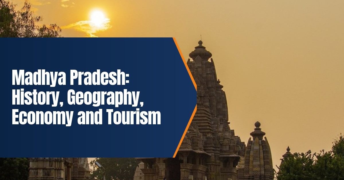
Madhya Pradesh: History, Geography, Economy and Tourism
Look at a map of India and put your finger right in the middle. You’ve probably landed on Madhya Pradesh. The name literally means “central province”, and it fits. This is the second largest state by area, with more than 72 million people, and it packs in a lot: ancient rock art, great temples, tiger forests and fertile farmland.
The state was formed on 1 November 1956, so 2026 is its seventieth year. Below you’ll find its history, geography, economy and tourism, with facts checked in October 2026.
Table of Contents
Madhya Pradesh at a Glance
| Item | Detail |
|---|---|
| Capital | Bhopal |
| Major cities | Indore, Gwalior, Jabalpur, Ujjain, Sagar |
| Formed | 1 November 1956 |
| Area rank | Second largest state in India |
| Population | Over 72 million (Census 2011) |
| Neighbours | Rajasthan, Uttar Pradesh, Chhattisgarh, Maharashtra, Gujarat |
| Main rivers | Narmada, Chambal, Betwa, Son, Tapti |
| UNESCO sites | Khajuraho, Sanchi, Bhimbetka |
History of Madhya Pradesh
Prehistoric and ancient times
Start with Hathnora, in the Narmada valley. Fossil remains found there suggest early humans were living here hundreds of thousands of years ago.
Then there’s Bhimbetka, near Bhopal. Its rock shelters are covered in paintings of hunters, animals and dancers, and some are many thousands of years old. Later on, farming cultures such as the Kayatha and Malwa cultures left settlements in the west of the state.
By the sixth century BCE, Ujjain was the capital of the Avanti kingdom, one of the big powers of ancient India. The region later became part of the Mauryan Empire. Emperor Ashoka is tied to Vidisha and Sanchi, and the great stupa at Sanchi is still standing.
Here’s a detail people tend to skip. Near Vidisha, in the second century BCE, a Greek envoy named Heliodorus put up a pillar in honour of Vasudeva. An early sign of contact between the Greek and Indian worlds.
Classical and medieval kingdoms
The Satavahanas, Sakas and Guptas all held parts of the region at different times. You can see Gupta era art in the Bagh caves of Dhar district.
The medieval period belonged to Rajput dynasties. The Paramaras ruled Malwa, and King Bhoja of that line is still remembered as a scholar king. In Bundelkhand, the Chandelas built the Khajuraho temples between about 950 and 1050 CE. The Tomars held Gwalior, where Raja Man Singh Tomar built the palace inside Gwalior Fort.
Next came the Delhi Sultanate and the Malwa Sultanate, and Mandu turned into a famous capital. After that, the Mughals controlled much of the region. By the eighteenth century the Marathas were in charge, with the Scindias at Gwalior and the Holkars at Indore. Rani Ahilyabai Holkar of Indore is still honoured for her temples, her ghats and her fair rule.
British rule and the modern state
After the Third Anglo Maratha War, the land was carved up. Some became British territory. Much of it stayed with princely states, grouped into the Central Provinces and the Central India Agency.
Independence brought a reshuffle into several states. Then on 1 November 1956, Madhya Bharat, Vindhya Pradesh and Bhopal state were merged with the old Madhya Pradesh to form the state we know, with Bhopal as capital. One more change came in 2000, when the southeastern region split off as Chhattisgarh.
Geography of Madhya Pradesh
There’s no coastline here. The state is landlocked and sits mostly on a plateau, shaped by two hill ranges: the Vindhyas in the north and the Satpuras in the south. The highest point is Dhupgarh, in the Pachmarhi hills, at about 1,350 metres.
Between those two ranges runs the Narmada, flowing west. People often call it the lifeline of the state. Further south, the Tapti also heads west. The Chambal, Betwa and Ken go north towards the Yamuna, while the Son flows east to meet the Ganga.
The land changes as you travel. The Malwa plateau in the west has rich black soil. Bundelkhand, up north, is drier and rockier.
About a quarter of the state is forest, one of the highest shares in India. These teak and sal forests are home to a large tribal population, including Bhil, Gond and Baiga communities.
Economy of Madhya Pradesh
Farming still carries the economy. The state is a leading producer of soybean, pulses, gram, garlic and oilseeds, and it grows a lot of wheat too. Over the past two decades, irrigation from the Narmada projects has given farm growth a real push.
Then there’s what’s under the ground. Madhya Pradesh holds India’s largest reserves of diamonds, centred on Panna, and of copper, mostly at Malanjkhand. Coal, manganese and limestone feed the power and cement industries.
Industry is picking up around Indore, Pithampur, Bhopal, Mandideep and Jabalpur. Think automobile parts, pharmaceuticals, textiles and food processing. And Indore has another claim to fame: its long run at the top of India’s national cleanliness survey. That has made it a model for urban waste management.
Wildlife: Tigers and Cheetahs
Why do people call it the tiger state? Simple. It has more tigers than any other state in India. Kanha, Bandhavgarh, Pench, Satpura and Panna are tiger reserves most wildlife fans will recognise. In Kanha, the barasingha, or hard ground swamp deer, was saved from near extinction.
Cheetahs are the newer story. India’s cheetah project is based here. The first cheetahs from Africa were released in Kuno National Park in September 2022, and Gandhi Sagar Wildlife Sanctuary became the second site. On 7 October 2026, Chief Minister Mohan Yadav released two cheetahs into the Veerangana Durgavati Tiger Reserve in Sagar district, making it the state’s third cheetah habitat. At the time, India’s cheetah count was reported at about 60, and most of them were in Madhya Pradesh.
Tourism in Madhya Pradesh
The tourism slogan calls it the heart of incredible India, and the range of places is huge.
- Khajuraho. Chandela temples famous for their carvings, and a UNESCO World Heritage Site.
- Sanchi. Buddhist stupas and gateways from Ashoka’s time. Also on the UNESCO list.
- Bhimbetka. Rock shelters with prehistoric paintings, the third UNESCO site.
- Ujjain. Home to the Mahakaleshwar Jyotirlinga and host of the Simhastha Kumbh fair, next due in 2028.
- Omkareshwar. Another Jyotirlinga temple, this one on an island in the Narmada.
- Gwalior and Orchha. Forts, palaces and cenotaphs left by Tomar and Bundela rulers.
- Mandu. Afghan era palaces such as the Jahaz Mahal.
- Pachmarhi. The state’s only hill station, up in the Satpuras.
- Bhedaghat. Marble rocks along the Narmada near Jabalpur.
When should you go? October to March works best for most of the state, since the weather is mild. If a tiger safari is on your list, note that core zones in national parks usually close during the monsoon, from about July to September.
Government and Administration
The state has a 230 member Legislative Assembly. It sends 29 members to the Lok Sabha and 11 to the Rajya Sabha. Mohan Yadav has been Chief Minister since December 2023.
Madhya Pradesh is split into divisions and districts, and new districts have been created several times in recent years to bring offices closer to people. The High Court sits in Jabalpur, with benches at Indore and Gwalior.
Most families deal with the state through its portals. Big welfare and land record schemes run online, which is why things like Samagra identity numbers matter so much in daily life. Panchayats and urban bodies handle local works. The state itself runs schools, hospitals and roads across a very large, mostly rural area.
Culture and Festivals
Folk dances like Matki, Gaur and Rai are part of who the state is. So are Gond art and Chanderi and Maheshwari weaving. The poet Kalidasa is linked with Ujjain. In Gwalior, the Tansen music festival honours the great singer of Akbar’s court, and the Khajuraho Dance Festival pulls in performers from all over the country.
A few everyday things you’ll notice on a visit. Bhopal is known as the city of lakes, and its Upper Lake is among the oldest man made lakes in central India. Indore is all about street food, especially at Sarafa Bazaar after dark. Breakfast across the state? Very often poha and jalebi. Hindi is the main language, with regional forms like Malvi and Bundeli in daily use.
Getting around is fairly easy by rail, since major lines between north and south India pass through Bhopal, Itarsi and Jabalpur. One warning, though. Safari permits for tiger reserves sell out fast in winter, so book early on the official portal.
For more reading, see our guide to Ujjain as a pilgrim city, our page on Van Vihar National Park in Bhopal, and our story on the Matki dance of Malwa.
What We Changed From the Old Post
The old post was short, loosely written and light on checkable facts. We rewrote it from scratch. It now has a quick facts table, a clear history from prehistoric times to the 2000 split with Chhattisgarh, the main rivers and hill ranges, the farm, mineral and industrial economy, the three UNESCO sites, and the October 2026 release of cheetahs into a third habitat in the state.
Frequently Asked Questions
When was Madhya Pradesh formed?
The present state was formed on 1 November 1956. Chhattisgarh was carved out of it in 2000.
Why is Madhya Pradesh called the tiger state?
It has more tigers than any other Indian state, with reserves such as Kanha, Bandhavgarh and Pench.
Which UNESCO sites are in Madhya Pradesh?
Khajuraho, Sanchi and the Bhimbetka rock shelters.
Where are cheetahs found in Madhya Pradesh?
In Kuno National Park, Gandhi Sagar Wildlife Sanctuary and, since October 2026, Veerangana Durgavati Tiger Reserve.