

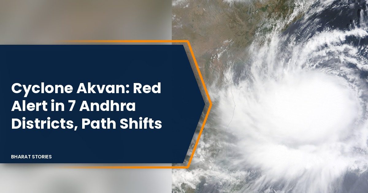

The India Meteorological Department (IMD) has moved the expected landfall zone of Cyclone Akvan, the third cyclone in Andhra Pradesh in a matter of weeks, further north. Its National Bulletin No. 20, issued at 4 am on Wednesday, 18 November 2026, says the storm will cross the Andhra Pradesh and Yanam coasts between Nellore and Visakhapatnam around noon on Friday, 20 November, as a very severe cyclonic storm with winds of 120 to 130 kmph gusting to 145 kmph, according to the bulletin. Earlier bulletins had named the stretch between Nellore and Tuni.
Seven coastal districts and Yanam are under a red alert for extremely heavy rain on 19 and 20 November, so the storm is now expected to hit the Godavari and Krishna delta belt hardest.
Table of Contents
Where is Cyclone Akvan now?
At 2.30 am on 18 November, Akvan was over the central parts of the south and adjoining west central Bay of Bengal. That put it about 620 km south southeast of Visakhapatnam, 620 km southeast of Machilipatnam and 590 km east of Chennai. It was moving north at about 3 kmph, with winds of 85 to 95 kmph gusting to 105 kmph, the IMD said.
How has the landfall forecast changed?
On 17 November the IMD said Akvan would cross between Nellore and Tuni, as we reported in our earlier landfall story. Later bulletins widened the stretch to run from Nellore up to Visakhapatnam, The Times of India reported. The expected time and peak wind speed have not changed. The IMD now also expects the storm to become a very severe cyclonic storm around the evening of 19 November, slightly later than the earlier forecast for the morning of 19 November.
Here is the IMD forecast track from Bulletin No. 20 (all times IST):
- 18 November, 5.30 am: severe cyclonic storm, 90 to 100 kmph gusting to 110 kmph
- 18 November, 11.30 pm: severe cyclonic storm, 105 to 115 kmph gusting to 125 kmph
- 19 November, 11.30 pm: very severe cyclonic storm, 120 to 130 kmph gusting to 145 kmph
- 20 November, 11.30 am: very severe cyclonic storm near the coast, 120 to 130 kmph gusting to 145 kmph
- 20 November, 11.30 pm: weakens to a cyclonic storm over land, 60 to 70 kmph
- 21 November, 11.30 am: depression, 40 to 50 kmph
Which districts in Andhra Pradesh are on red alert?
Kakinada, Konaseema, East Godavari, West Godavari, Eluru, Krishna and Bapatla districts, along with Yanam, are on red alert for both 19 and 20 November, The Times of India reported. A red alert means extremely heavy rain is likely at isolated places.
- Orange alert on 19 November: Vizianagaram, Visakhapatnam, Anakapalli, Guntur, Prakasam and Nellore
- Yellow alert on 19 November: Srikakulam, Parvathipuram Manyam, Alluri Sitharama Raju, NTR, Palnadu and Tirupati
- Orange alert on 20 November: Vizianagaram, Visakhapatnam, Alluri Sitharama Raju, Anakapalli, NTR, Guntur, Palnadu, Prakasam and Nellore
- Yellow alert on 20 November: Srikakulam, Parvathipuram Manyam and Tirupati
How strong will the cyclone in Andhra Pradesh be at landfall?
The IMD expects sustained winds of 120 to 130 kmph with gusts of 145 kmph along and off the Andhra Pradesh and Yanam coasts from the night of 19 November until landfall. Out at sea, waves of 9 to 14 metres are likely from 19 November, rising above 14 metres from that night until the storm reaches the coast.
A storm surge of 0.4 to 1.2 metres above the astronomical tide may flood low lying parts of Prakasam, Bapatla, Krishna, West Godavari, Konaseema, Kakinada and Visakhapatnam districts. The peak surge is expected over Bapatla, Krishna, West Godavari and Kakinada from the morning to the afternoon of 20 November.
How much rain is expected?
- Coastal Andhra Pradesh: heavy rain at isolated places on 18 November; heavy to very heavy rain with isolated extremely heavy falls of 21 cm or more on 19 and 20 November
- Odisha: heavy rain in south coastal Odisha on 18 November; heavy to very heavy rain at isolated places from 19 to 21 November
- Rayalaseema: heavy rain at isolated places on 19 and 20 November
- Eastern Telangana: heavy to very heavy rain at isolated places on 20 and 21 November
- North Tamil Nadu, Puducherry and Karaikal: heavy rain at isolated places on 19 November
- Gangetic West Bengal, Jharkhand and Chhattisgarh: heavy rain at isolated places between 19 and 21 November
What damage does the IMD expect?
The bulletin warns of major damage to thatched and kutcha houses, damage to power and communication poles, and uprooted trees. It flags major damage to standing crops, plantations and orchards, especially banana, papaya and drumstick trees, along with flooding of roads, waterlogging and disruption of rail, power lines and airports. It has advised a total suspension of fishing in the west central Bay of Bengal until 21 November and asked that people living in coastal huts be moved to safer places.
How are Andhra Pradesh and Odisha preparing?
Chief Minister N. Chandrababu Naidu told officials to make sure the cyclone causes no loss of life or disruption of essential services, The New Indian Express reported, citing PTI. He asked for continuous weather alerts in vulnerable areas, told Swarna Gram and Swarna Ward staff to pass information directly to people, and ordered quick clearing of fallen trees and damaged electricity poles. Andhra Pradesh was recently hit by Cyclones Arnab and Murasu, which caused estimated losses of nearly Rs 7,000 crore, the report said. Read our report on Cyclone Murasu’s landfall near Ongole for that background.
In Odisha, Ganjam district moved 2,730 people to safer places on Tuesday and had shifted 97 pregnant women by noon, out of 1,150 identified, The Times of India reported. Gajapati district has prepared 518 shelters for 35,000 people. The state has deployed 60 ODRAF and 14 NDRF teams and is lowering reservoir levels in a controlled way, The Daily Jagran reported.
FAQ
Will Cyclone Akvan hit Visakhapatnam?
Visakhapatnam now marks the northern end of the IMD landfall stretch. The district is on orange alert for rain on 19 and 20 November and is among the districts named for storm surge. For more on the state’s coastal districts, see our guide to Andhra Pradesh.
When will Cyclone Akvan make landfall?
Around noon on Friday, 20 November 2026, according to the IMD’s latest bulletin.
Featured image: NASA satellite image of Cyclone Asani over the Bay of Bengal in May 2022 (MODIS Land Rapid Response Team, NASA GSFC), public domain, via Wikimedia Commons. It is used as an illustration and does not show Cyclone Akvan.
Sources
- IMD National Bulletin No. 20 (BOB/10/2026), 4 am IST, 18 November 2026: position, track, winds, rain, surge, sea state, damage, fishing ban.
- The Times of India, 17 November 2026: red, orange and yellow alert districts for 19 and 20 November.
- The Times of India, 17 November 2026: revised landfall stretch, Nellore to Visakhapatnam.
- The New Indian Express (PTI), 17 November 2026: Naidu’s directions, losses from Arnab and Murasu.
- The Times of India, 17 November 2026: Ganjam evacuation, pregnant women shifted, Gajapati shelters.
- The Daily Jagran, 17 November 2026: Odisha ODRAF and NDRF teams, reservoir depletion.