


Cyclone Murasu, a severe cyclonic storm, crossed the south Andhra Pradesh coast close to Ongole in Prakasam district in the early hours of Tuesday, 3 November, bringing heavy rain, strong winds and a storm surge to several coastal districts. The landfall process began at about 1 am near Kothapatnam, a coastal village close to Ongole, The Hindu reported, citing the briefing given to Chief Minister N Chandrababu Naidu.
The India Meteorological Department said in its coastal weather bulletin that the storm crossed the coast between Nellore and Narasapur, close to Ongole, between 3.30 am and 5.30 am, with sustained winds of 100 to 110 kmph gusting to 120 kmph. Early reports from the districts said power supply held up and no deaths were reported, though trees fell and low lying areas flooded.
Table of Contents
Where and when Cyclone Murasu crossed the coast
According to the IMD bulletin issued at 8.36 am, the storm crossed the coast near latitude 15.53 degrees north and longitude 80.22 degrees east. At 5.30 am its centre lay about 40 km southwest of Bapatla and 130 km north of Nellore.
The system was forecast to weaken into a cyclonic storm, with winds of 80 to 90 kmph gusting to 100 kmph, by noon on Tuesday, and later into a deep depression over land.
IMD Amaravati Director K Nagaratna said fishermen should not go to sea until the morning of 4 November, Deccan Chronicle reported.
Storm surge, red warnings and port signals
IMD had warned of a storm surge of 1 to 1.5 metres above the astronomical tide in low lying parts of south coastal Andhra Pradesh. Nagaratna said the highest surge was expected around Bapatla.
Red warnings were issued for Krishna, Guntur, Bapatla, Palnadu, NTR and Prakasam districts, she said. The IMD bulletin listed these port signals on Tuesday morning:
- Great Danger Signal number X at Nizampatnam and Vadarevu ports.
- Great Danger Signal number IX at Machilipatnam port.
- Great Danger Signal number VIII at Krishnapatnam port.
- Local Cautionary Signal number III at Kalingapatnam, Visakhapatnam, Bheemunipatnam, Gangavaram and Kakinada ports.
Power held up, trees down in coastal districts
Naidu reviewed the situation with district Collectors over a teleconference at 3.30 am. Energy department officials told him that no electricity poles had fallen and that supply was not disrupted anywhere, The Hindu reported. He asked officials to keep people off roads until obstructions were cleared.
After Cyclone Arnab less than a week earlier, at least five people died after touching fallen live wires, the Indian Express noted. The same report said hundreds of trees were uprooted across Nellore, Prakasam and Bapatla districts and several low lying areas were flooded.
The district reports shared with the Chief Minister at that early hour were more limited:
- Bapatla: heavy rain, especially in Repalle, Chirala and Vetapalem; two fallen trees cleared.
- Nellore: seven fallen trees removed and moderate rain, said Collector Himanshu Shukla.
- Prakasam: officials responded to fallen trees at five places, said Collector P Raja Babu.
- Krishna: heavy rain in Avanigadda and Nagayalanka.
- Guntur: rain in all mandals, but no fallen poles or trees reported.
- NTR: light showers; the Budameru area was inspected and no immediate threat found, while some families at Mogalrajpuram were moved to relief camps as a precaution against landslides.
How the state prepared
On 2 November the state government released Rs 37 crore to 17 districts for rescue and relief, Deccan Chronicle reported from the government order. Nellore, Prakasam, Markapuram, Bapatla, Guntur and Krishna got Rs 3 crore each, eight more districts got Rs 2 crore each, and Kadapa, Sri Sathya Sai and Annamayya got Rs 1 crore each. The money is meant for evacuation, food, drinking water, medical camps and sanitation.
In Prakasam, where the storm came ashore, the administration identified 26 villages and 72 habitations in coastal mandals as highly vulnerable and set up 70 cyclone relief centres, The Hindu reported on Monday. NDRF and SDRF teams were deployed and 1,000 spare electricity poles kept ready.
Across the state, around 2,000 people had been evacuated by Monday, with plans to move about 30,000, Hindustan Times reported citing PTI. The same report said around 31,000 electricity poles had been sent to the districts and that Tamil Nadu had sent three NDRF teams of 90 personnel and 500 power department staff to help Andhra Pradesh.
Odisha and Tamil Nadu also on alert
Odisha moved more than 1.6 lakh people to safer places by Monday evening, most of them in Ganjam district, Hindustan Times reported.
In Chennai, in the 24 hours to 6 am on Monday, Parry’s Corner in George Town recorded 149.2 mm of rain, the highest in the city, The Hindu reported. Schools and colleges in Chennai and Tiruvallur were shut on Monday. Chennai airport cancelled eleven flights to and from Vijayawada, Rajahmundry, Kadapa and Tiruchirappalli, according to Hindustan Times.
Across Vijayawada, Visakhapatnam, Tirupati and Chennai, at least 30 domestic flights and nine trains were cancelled on Monday, Hindustan Times reported.
What happens next
Rain is expected to continue after landfall as the system weakens and moves inland. The Amaravati weather office expected heavy to very heavy rain at a few places and extremely heavy rain at one or two places in central coastal Andhra Pradesh on Tuesday, Deccan Chronicle reported. Telangana is also expected to get heavy rain as the system moves inland, while parts of Tamil Nadu, south Odisha and Chhattisgarh are under weather alerts, according to Hindustan Times.
Back to back cyclones have raised concern about damage to farms and infrastructure in areas still recovering from Arnab, Hindustan Times noted. For background, see our Andhra Pradesh guide and our report on the delayed monsoon exit and IMD rain warnings.
Residents should follow advice from district control rooms, which have been set up at Collectorates, and official IMD updates, and should stay away from fallen wires. For how weather services track storms like this, see our explainer on World Meteorological Day.
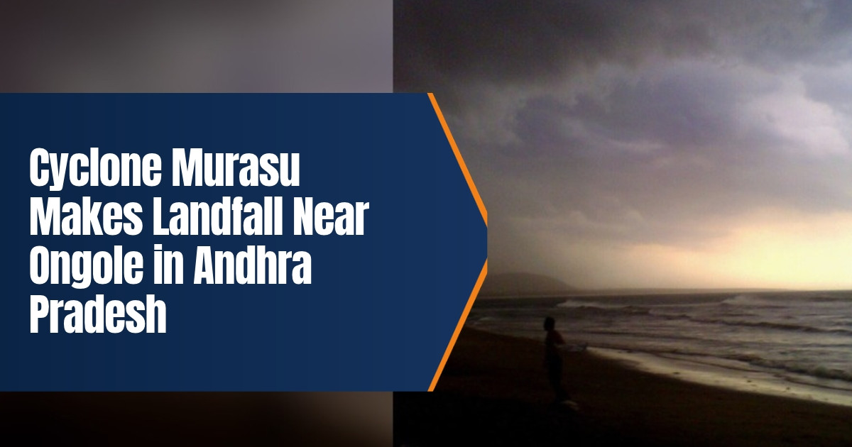
Featured image photo: Srichakra Pranav, CC BY SA 3.0, via Wikimedia Commons. It is a representative photo of an earlier storm at Bheemili beach, not of Cyclone Murasu.
FAQ
Where did Cyclone Murasu make landfall?
It crossed the south Andhra Pradesh coast close to Ongole in Prakasam district, near Kothapatnam, between Nellore and Narasapur, early on 3 November 2026.
How strong were the winds?
IMD put the wind speed at landfall at 100 to 110 kmph, gusting to 120 kmph. The storm was expected to weaken to a cyclonic storm by noon.
Sources
- India Meteorological Department, coastal weather bulletin, 3 November 2026, 8.36 am: crossing time, position, wind speed, weakening forecast, port signals, surge.
- The Hindu, 3 November 2026: landfall near Kothapatnam at about 1 am, Chief Minister’s review, district reports, power supply.
- The Indian Express, 3 November 2026: trees uprooted, flooding, deaths after Cyclone Arnab.
- Deccan Chronicle, 3 November 2026: IMD Amaravati director’s briefing, red warnings, surge, fishing ban.
- Deccan Chronicle, 2 November 2026: Rs 37 crore relief release to 17 districts.
- The Hindu, 2 November 2026: Prakasam preparations and relief centres.
- Hindustan Times, 3 November 2026: evacuation figures, Odisha, flights and trains, help from Tamil Nadu.
- Hindustan Times, 2 November 2026: Chennai rain and flight cancellations.
- The Hindu, 2 November 2026: Chennai rainfall figures and waterlogging.