

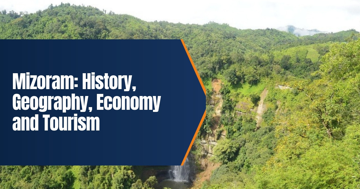
Mizoram: History, Geography, Economy and Tourism
Mizoram is a hilly state in the far northeast of India, tucked between Myanmar and Bangladesh. It is known for steep green ridges, bamboo forests, a close knit Mizo society and one of the highest literacy rates in the country. Once among the hardest places in India to reach, it got its first major railway link in 2025. This guide covers the history of Mizoram, its geography, people, economy and the best places to visit in 2026.
Table of Contents
Mizoram at a Glance
| Item | Detail |
|---|---|
| Statehood | 20 February 1987, as India’s 23rd state |
| Capital | Aizawl |
| Area | 21,081 square kilometres |
| Population | 1,097,206 (Census 2011) |
| Forest cover | 84.53 percent (2021 report) |
| Main languages | Mizo and English |
| Highest peak | Phawngpui, about 2,157 metres |
| Chief Minister | Lalduhoma, since December 2023 |
History of Mizoram
Early settlement and chiefs
The Mizo people belong to a wider group of communities known as the Zo or Chin Kuki Mizo peoples. Their oral history says that their ancestors came from the east, through what is now Myanmar, and settled in the Mizo hills between roughly the sixteenth and eighteenth centuries. Villages were ruled by hereditary chiefs, and each village moved its fields from hill to hill. A strong tradition called tlawmngaihna, meaning selfless service to others, shaped community life and still matters today.
British rule
Raids on tea gardens in the plains led the British to send military expeditions into the Lushai Hills in the 1870s and 1890s. The area was annexed in 1891 and later became the Lushai Hills district of Assam. The British left most local matters to the chiefs. Welsh missionaries arrived in 1894, wrote down the Mizo language in the Roman script and opened schools. Within a few generations almost the whole population became Christian, and education spread rapidly.
Famine, insurgency and peace
After independence the district remained part of Assam and was renamed the Mizo Hills district in 1954. In 1959 bamboo flowered across the hills, an event called mautam. Rats multiplied on the bamboo seeds and destroyed crops, causing famine. Many people felt that relief from the Assam government came too slowly. This anger helped the rise of the Mizo National Front, led by Laldenga, which launched an armed uprising in 1966. The conflict lasted about twenty years and caused great hardship, including the forced regrouping of villages.
The Mizo Hills became a Union Territory named Mizoram in 1972. On 30 June 1986 the Government of India and the Mizo National Front signed the Mizo Peace Accord. The rebels gave up arms, and Mizoram became a full state on 20 February 1987. The accord is often described as one of the most successful peace agreements in India, and the state has been largely peaceful since.
Geography and Climate
Mizoram is made up of parallel hill ranges running north to south, separated by narrow river valleys. Most of the land is steep, and flat ground is rare. The state shares about 722 kilometres of international borders with Myanmar to the east and south and with Bangladesh to the west, and it borders Tripura, Assam and Manipur within India.
- Forests. About 85 percent of the area is under forest, one of the highest shares in India. Bamboo is especially common.
- Rivers. The Tlawng, Tuirial and Tuivawl flow north into Assam, while the Chhimtuipui, also called the Kaladan, flows south into Myanmar.
- Peaks. Phawngpui, also called the Blue Mountain, rises to about 2,157 metres in the southeast.
- Climate. Summers are mild and wet, winters are cool and dry, and the monsoon brings heavy rain from May to September.
Protected areas include the Dampa Tiger Reserve near the Bangladesh border, Murlen National Park near Myanmar and Phawngpui National Park. They shelter hoolock gibbons, clouded leopards, many species of birds and rare orchids.
People, Language and Culture
Most people in Mizoram are Mizo, a name that covers several related groups such as the Lusei, Hmar, Lai, Mara and Paite. The Chakma, Bru (Reang) and others also live in the state. Mizo, also called Duhlian, is the common language, and English is widely used in government and schools. Christianity is the faith of about 87 percent of the population, and churches play a central role in social life.
Education is a source of pride. In May 2025 the central government declared Mizoram the first fully literate state in India under the ULLAS adult literacy programme, with a literacy rate of about 98 percent.
Festivals are linked to farming. Chapchar Kut, held in March after the jungle is cleared for planting, is the largest. Mim Kut and Pawl Kut mark later stages of the harvest. The bamboo dance, Cheraw, in which dancers step nimbly between clapping bamboo poles, is the best known Mizo dance. Traditional cloth called puan is woven in bright patterns, and Mizo food tends to be lightly spiced, with boiled vegetables, smoked meat and bamboo shoots.
Because the Mizo share family and cultural ties with the Chin people of Myanmar and the Kuki Zo people of Manipur, the state has taken in many thousands of people displaced by conflict in Myanmar since 2021 and by violence in Manipur since 2023. Churches, village councils and the state government have provided shelter, though the issue raises questions about funds and border policy.
Economy of Mizoram
Many families still practise jhum, or shifting cultivation, in which a patch of forest is cleared, burned and farmed for a year or two before being left to recover. Rice is the main crop. The state also grows ginger, turmeric, chillies, oranges, passion fruit, squash and anthurium flowers. Bamboo covers a large part of the land and supports crafts, construction and small industries.
Government services are the largest employer, and the state depends heavily on funds from the centre. Its gross state domestic product for 2025 was estimated at about 36,000 crore rupees. Small businesses, construction, handloom and tourism are growing, and trade with Myanmar passes through the Zokhawthar border crossing.
Connectivity has long been the main barrier to growth. That began to change on 13 September 2025, when the Prime Minister opened the Bairabi to Sairang railway line. Built at a cost of about 8,071 crore rupees, it runs through 45 tunnels and over bridges with piers more than 100 metres tall, and brings trains within about 20 kilometres of Aizawl. A Rajdhani Express now links Sairang with Delhi. Lengpui Airport near Aizawl handles flights to Kolkata, Guwahati, Delhi and other cities.
Places to Visit in Mizoram
- Aizawl. A city built along ridges, with Solomon’s Temple, the state museum, Bara Bazar and wide views at Durtlang.
- Vantawng Falls. Near Thenzawl, one of the tallest waterfalls in the state, set in deep forest.
- Reiek. A hill near Aizawl with a model Mizo village and fine views.
- Phawngpui. The Blue Mountain, for trekking and birdwatching.
- Champhai. Rice fields, vineyards and the heart shaped Rih Dil lake just across the Myanmar border.
- Tam Dil. A peaceful lake surrounded by forest.
- Dampa Tiger Reserve. Forest trails and wildlife near the western border.
Travel Tips for 2026
Indian citizens from outside Mizoram need an Inner Line Permit, which can be applied for online or obtained on arrival at Lengpui Airport and at entry points. Foreign visitors must register with the authorities on arrival. The best time to visit is October to March, when the weather is cool and dry. Roads can be blocked by landslides during the monsoon. Mizoram is known for its orderly traffic, so drivers rarely honk, and visitors are expected to respect local customs, including Sunday as a day of rest when most shops close.
You can read about neighbouring states in our guides to Manipur, Assam and Meghalaya.
Taxis in Aizawl run on fixed routes, and shared jeeps called sumo link the capital with district towns.
Carry some cash, as card and mobile payments may not work in remote villages.
Village councils and church groups often organise community clean ups, which keep many towns noticeably tidy.
Bus and taxi fares are modest, but hill roads are slow, so plan fewer stops each day.
Mobile data works in most towns, but signal can drop on long stretches of highway between them.
Local homestays in Reiek, Champhai and Thenzawl are a good way to experience Mizo hospitality.
Frequently Asked Questions
When did Mizoram become a state?
Mizoram became India’s 23rd state on 20 February 1987, after the Mizo Peace Accord of 1986.
What is the capital of Mizoram?
Aizawl is the capital and largest city.
Do I need a permit to visit Mizoram?
Yes. Indian visitors from outside the state need an Inner Line Permit, and foreigners must register on arrival.
Is there a train to Mizoram?
Yes. The Bairabi to Sairang line opened in September 2025, with trains to Sairang near Aizawl.