

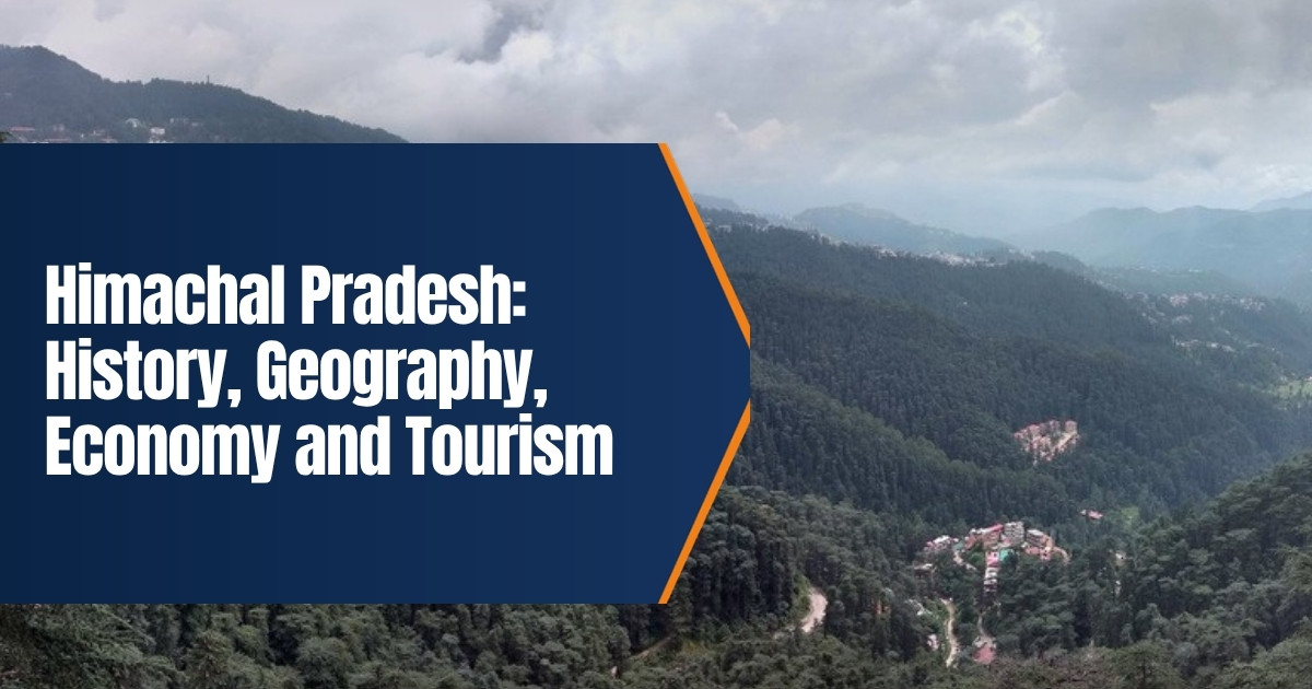
Himachal Pradesh: History, Geography, Economy and Tourism
Himachal Pradesh is a mountain state in northern India, known for snow peaks, apple orchards, hill towns and old temples. Its name means “land of snowy slopes”, from the Sanskrit words for snow and mountain. This guide covers the state’s history, geography, economy and tourism, with figures updated for 2026.
Table of Contents
Quick Facts
| Item | Detail |
|---|---|
| Capital | Shimla (winter capital: Dharamshala) |
| Area | 55,673 square kilometres |
| Population (2011 census) | 6,864,602 |
| Districts | 12, in three divisions: Shimla, Kangra and Mandi |
| Statehood | 25 January 1971 |
| Assembly seats | 68 |
| Highest peak | Reo Purgyil, 6,816 metres |
| State animal and bird | Snow leopard; western tragopan |
History
Early Times
People have lived in the hills of Himachal since very early times. Ancient texts mention tribes such as the Kolis, Kinnars and Khasas in these valleys, and many local clans ruled small territories. Over the centuries, parts of the region came under larger powers, including the Mauryas and the Guptas, while the hill kingdoms kept a good deal of local control.
Hill Kingdoms
From the medieval period the area was divided into many small princely states, such as Kangra, Chamba, Mandi, Bilaspur, Suket and Nurpur. Kangra was one of the most powerful. Mahmud of Ghazni attacked Kangra in the early 11th century, and the Mughals later took control of parts of the region. In the early 1800s a Gorkha army from Nepal pushed into the hills, and Kangra fort passed to Maharaja Ranjit Singh in 1809. After the Anglo Gorkha war of 1814 to 1816, the British took control of much of the area.
The British Period
The British made Shimla their summer capital, and every year the government of India moved there from the plains during the hot months. Roads, a railway and colonial buildings followed. The many hill states remained under their rulers but answered to the British.
The Road to Statehood
After independence, about 30 hill states were joined together, and Himachal Pradesh was formed as a province on 15 April 1948. It became a Union Territory on 1 November 1956. On 1 November 1966 hill areas of Punjab, including Shimla, Kangra, Kullu and Lahaul and Spiti, were added to it. Full statehood came on 25 January 1971, making Himachal the 18th state of India. Yashwant Singh Parmar, often called the maker of Himachal, was its first chief minister. Since 11 December 2022 the chief minister has been Sukhvinder Singh Sukhu.
Geography
Himachal lies in the western Himalayas. It borders Jammu and Kashmir and Ladakh to the north, Punjab to the west, Haryana to the southwest, Uttarakhand to the southeast and Tibet to the east. Height rises steeply from about 350 metres in the southern foothills to more than 6,000 metres in the north and east.
Five major rivers cross the state: the Chenab, Ravi, Beas, Sutlej and Yamuna. The Sutlej enters from Tibet near Shipki La, and its tributaries form the Spiti and Baspa valleys. The Beas flows through the Kullu and Kangra valleys. Lahaul and Spiti in the far north is a cold desert with very little rain, while Dharamshala on the edge of the Dhauladhar range is one of the wettest places in the country.
Forests cover a large part of the state, with deodar, pine, oak, fir and alpine meadows. The Great Himalayan National Park in Kullu district is a UNESCO World Heritage Site and protects a wide range of wildlife, from musk deer to the western tragopan, the state bird.
Climate
The climate changes with height. The lower hills have warm summers, while the middle hills, including Shimla, stay mild. High valleys see heavy snow and long winters. The monsoon brings most of the rain between July and September, and in recent years heavy rain has caused serious landslides and floods. Travellers should follow official weather warnings during this season.
Economy
Farming, horticulture, hydropower and tourism are the main parts of the economy. Most people in the state depend on agriculture in some way.
- Apples. Apples are the main cash crop, grown in Shimla, Kinnaur, Kullu, Mandi and Chamba. Average output is about five lakh tonnes a year.
- Other crops. Wheat, maize, rice, barley, potatoes, ginger and off season vegetables are grown, along with plums, pears and cherries.
- Tea. Kangra tea, grown in the Kangra valley, has a geographical indication tag.
- Hydropower. The state’s rivers give it an estimated hydro potential of 27,436 megawatts. Surplus power is sold to other states.
- Industry. Baddi, Barotiwala and Nalagarh form a large pharmaceutical manufacturing cluster.
The state’s Economic Survey estimated growth of about 8.3 percent for 2025 to 26. Himachal also has one of the highest literacy rates in India and a strong record on rural electrification. Government jobs, the armed forces and money sent home by workers in other states also support many families in the hills.
Tourism
Tourism has grown sharply. According to the state’s Economic Survey, Himachal received a record 3.11 crore tourist arrivals in 2025. That included about 1.44 crore general tourists, about 1.66 crore religious visitors and around 85,000 foreign visitors. The previous high was 1.96 crore in 2017. By July 2026 the state had already recorded about 1.06 crore arrivals.
Popular Places to Visit
- Shimla. The capital, with the Ridge, Mall Road and colonial buildings.
- Manali. A base for the Solang valley, the Rohtang area and treks.
- Dharamshala and McLeod Ganj. Home of the Tibetan government in exile and the Dalai Lama’s temple.
- Dalhousie and Khajjiar. Quiet hill towns with pine forests and meadows.
- Spiti valley. High desert villages and old monasteries such as Key and Tabo.
- Kinnaur. Apple orchards, Kinnaur Kailash views and villages such as Kalpa and Sangla.
- Temples. Jwalamukhi, Chintpurni, Naina Devi and Baijnath draw large numbers of pilgrims.
Getting Around
The state has three domestic airports, at Gaggal near Dharamshala, Bhuntar near Kullu and Jubbarhatti near Shimla. The narrow gauge Kalka Shimla Railway is part of the Mountain Railways of India World Heritage Site, and the Kangra Valley Railway runs from Pathankot to Joginder Nagar. The Atal Tunnel under the Rohtang Pass, about 9 kilometres long, opened in October 2020 and keeps Lahaul connected to Manali through most of the year.
Adventure and Outdoor Activities
The hills are popular for trekking, with routes such as Triund near McLeod Ganj, the Hampta Pass between Kullu and Lahaul and the Indrahar Pass over the Dhauladhar. Bir Billing in Kangra district is one of India’s best known paragliding sites. Skiing is offered at Solang near Manali in winter, and river rafting runs on the Beas near Kullu in the warmer months. Use registered operators and check safety gear before booking.
Culture
Hindi is the main language, and Sanskrit became a second official language in 2019. Pahari dialects are spoken across the hills. Fairs such as Kullu Dussehra, Shivratri in Mandi and the Minjar fair in Chamba draw large crowds. The Nati is the best known folk dance, and Kangra miniature paintings, Kullu shawls and Chamba rumal embroidery are famous crafts.
Food
Himachali food is simple and filling. Dham is a festive meal cooked by traditional cooks and served on leaf plates, with rice, lentils, rajma and a sweet dish. Siddu, a steamed bread stuffed with poppy seed or walnut paste, is popular in Kullu and Mandi. Chha gosht, babru and madra are other local favourites, and trout from the cold rivers is common in Kullu and Manali.
To plan a trip, read our guides to Shimla and Manali, and see our article on the culture of Himachal Pradesh. For the 1966 merger, our guide to Punjab gives the other side of the story.
Mobile signal can be weak in remote valleys, so download maps and share your route with someone before travelling.
Visitors to high valleys such as Spiti should allow a day or two to adjust to the altitude before any hard walking.
Plastic bans and green fees apply in several tourist areas, so travellers should carry reusable bottles and bags.
Roads to high passes often open only from late spring, so check road status with local authorities before setting out.
Homestays in villages are a good way to see local life and food, and many are registered with the state tourism department.
What We Changed From the Old Post
The old post was short and machine spun, with awkward sentences and no recent figures. We rewrote it in plain English, removed the dash from the title, and added a quick facts table, a clearer timeline from the hill kingdoms to statehood in 1971, the current chief minister, river and climate details, the 2025 record tourism figures from the state survey, the latest growth estimate and transport updates such as the Atal Tunnel.
Frequently Asked Questions
What is the capital of Himachal Pradesh?
Shimla is the capital. Dharamshala serves as the winter capital.
When did Himachal Pradesh become a state?
It became a full state on 25 January 1971, the 18th state of India.
What is Himachal Pradesh famous for?
It is known for apples, hill stations such as Shimla and Manali, Himalayan treks, temples and hydropower.
When is the best time to visit?
March to June and September to November suit most trips. Winter is best for snow, and the monsoon months bring landslide risk.