

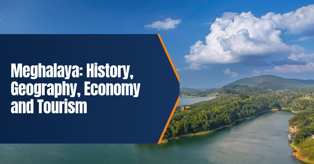
Meghalaya: History, Geography, Economy and Tourism
Meghalaya is a small hill state in northeast India, known for misty plateaus, deep gorges, crystal clear rivers and the heaviest rainfall recorded anywhere on earth. Its name means “abode of clouds”. This guide explains the history of Meghalaya, its geography and climate, its people and culture, how its economy works and the best places to visit in 2026.
Table of Contents
Meghalaya at a Glance
| Item | Detail |
|---|---|
| Statehood | 21 January 1972 |
| Capital | Shillong |
| Area | 22,429 square kilometres |
| Population | 2,966,889 (Census 2011) |
| Districts | Twelve |
| Official languages | English, Khasi and Garo |
| Highest point | Shillong Peak, 1,961 metres |
| Chief Minister | Conrad K. Sangma, since March 2018 |
Where the Name Comes From
The word Meghalaya comes from Sanskrit, with megha meaning cloud and alaya meaning home. It was suggested by the geographer S. P. Chatterjee, and it fits well. For much of the year, low clouds drift over the hills, fill the valleys and roll across the roads around Shillong and Sohra.
History of Meghalaya
The hill kingdoms
Three main communities shaped the region: the Khasi, the Jaintia (also called Pnar) and the Garo. Before British rule, the Khasi Hills were divided into small states called hima, each led by a chief known as a syiem, who was chosen by and answerable to local councils. The Jaintia kings ruled from Jaintiapur, in the plains of present day Bangladesh, and held land in the hills as well. The Garo lived in villages governed by their own clan leaders, called nokma.
Arrival of the British
The British East India Company took over Sylhet and the Assam plains in the early nineteenth century and wanted a road through the hills to link Bengal with the Brahmaputra valley. In 1827 the syiem of Nongkhlaw agreed to allow it, but resistance soon grew. In 1829 U Tirot Sing, the chief of Nongkhlaw, led an uprising against the British. He fought for about four years before he was captured in 1833, and he is remembered today as a hero of the state. The Jaintia kingdom was annexed in 1835, and the Garo Hills came under British control later in the century.
In 1864 the British made Shillong the headquarters of the Khasi and Jaintia Hills, and in 1874 it became the capital of the new province of Assam. With its pine forests and cool climate, Shillong grew into a hill station often described as the “Scotland of the East”. Christian missionaries, especially Welsh Presbyterians, arrived in the 1840s. They wrote down the Khasi language in the Roman script and opened schools, which shaped education in the region for the next century.
From Assam to statehood
After independence, the hill districts remained part of Assam. Many people felt that their languages and customs were not respected, and a peaceful movement for a separate hill state grew in the 1960s. Parliament first made Meghalaya an autonomous state within Assam on 2 April 1970. On 21 January 1972 it became a full state of India, the same day as Manipur and Tripura. Shillong, which had been the capital of Assam, became the capital of Meghalaya.
Geography and Climate
Meghalaya sits on a block of very old rock called the Shillong Plateau. It shares a long border with Bangladesh to the south and with Assam on its other sides. The state is commonly divided into three regions named after its people: the Garo Hills in the west, the Khasi Hills in the centre and the Jaintia Hills in the east.
- Forests. About 70 percent of the land is under forest, including sacred groves that communities have protected for generations, such as Mawphlang.
- Rivers. The Umngot near Dawki is known for its clear water, while the Simsang, Kynshi and Myntdu flow through deep valleys.
- Caves. The limestone hills hold some of the longest caves in South Asia, including Krem Liat Prah in the Jaintia Hills.
- Protected areas. Nokrek National Park and Balpakram National Park in the Garo Hills shelter elephants, clouded leopards and hoolock gibbons, the only ape found in India.
The southern slopes catch the full force of the monsoon winds from the Bay of Bengal. Mawsynram and Sohra, also known as Cherrapunji, receive close to 12,000 millimetres of rain in a typical year, which makes them two of the wettest inhabited places on the planet. Shillong itself is much milder, with cool summers and chilly winters.
People, Language and Culture
The Khasi and Garo are among the few communities in the world that follow a matrilineal system. Family names pass through the mother, and among the Khasi the youngest daughter, called the khadduh, traditionally inherits the family home and looks after her parents. Men still take part fully in public life, and village councils remain powerful.
Most people in Meghalaya are Christian, about 75 percent according to the 2011 Census. Many also follow or respect the traditional Khasi faith, Niam Khasi, and the Garo faith, Songsarek. English has long been the official language. In April 2026 the state government issued an ordinance that adds Khasi and Garo as official languages, a step that many groups had demanded for years. The rules for putting it into practice were still being written in late 2026. You can learn more in our article on the Khasi language.
Festivals follow the farming year. Shad Suk Mynsiem is a Khasi dance of thanksgiving held in Shillong in spring. Behdienkhlam is the main Jaintia festival, held in July at Jowai to drive away disease. Wangala, the hundred drums festival of the Garo, marks the end of the harvest in autumn. Shillong is also famous for its love of rock and blues music and hosts many concerts each year.
Economy of Meghalaya
Most people in Meghalaya still depend on farming. Paddy and maize are the main food crops, and the state also grows potatoes, ginger, pineapple, oranges, areca nut and black pepper. Lakadong turmeric, grown in the Jaintia Hills, is valued across India for its high curcumin content and is now promoted for export.
The hills hold coal, limestone and uranium. For many years coal was dug from narrow rat hole mines, which caused serious accidents and polluted rivers. In 2014 the National Green Tribunal banned this kind of mining. Since then only regulated mining under licence has been allowed, and the issue remains a major political and environmental debate.
Tourism, trade with Bangladesh through border markets, and services are growing parts of the economy. The government has also pushed for better roads, mobile networks and air links, with flights to Shillong from Umroi airport. Education is another strength. Shillong is home to North Eastern Hill University and to IIM Shillong.
Places to Visit in Meghalaya
- Shillong. Ward’s Lake, Police Bazar, the Don Bosco Museum and the view from Shillong Peak.
- Umiam Lake. A large reservoir just north of Shillong, popular for boating and sunsets.
- Sohra. Nohkalikai Falls, the Seven Sisters Falls, Mawsmai Cave and wide views over the Bangladesh plains.
- Living root bridges. Bridges grown from the roots of rubber fig trees, the best known being the double decker bridge at Nongriat.
- Mawlynnong. A village known for cleanliness, with a nearby root bridge.
- Dawki. Boat rides on the clear Umngot river close to the Bangladesh border.
- Garo Hills. Nokrek, Balpakram and the Siju caves for travellers who want quieter places.
The living root bridges, known locally as Jingkieng Jri, have been grown and repaired by Khasi and Jaintia villages for generations. India nominated them for the UNESCO World Heritage List in January 2026, and a decision is expected in 2027. Until then they are a strong reason to visit, but they need care. Stay on paths, avoid climbing on the roots and follow any limits set by village councils.
Travel Tips for 2026
Indian visitors do not need an Inner Line Permit for Meghalaya, unlike some neighbouring states, but you should carry valid photo identity. Foreign visitors should check current rules before travelling to border areas. The best months are October to April, when skies are clearer. During the monsoon, from June to September, waterfalls are at their best but landslides can close roads. Guwahati, in Assam, is the usual gateway, about three hours by road from Shillong.
For neighbouring history, see our guide to Assam’s history, geography and economy.
Frequently Asked Questions
When did Meghalaya become a state?
Meghalaya became a full state on 21 January 1972, after two years as an autonomous state within Assam.
Why is Meghalaya so wet?
Moist monsoon winds from the Bay of Bengal rise sharply over its southern hills and drop huge amounts of rain on places such as Mawsynram and Sohra.
What are the official languages of Meghalaya?
English, Khasi and Garo, following an ordinance issued in April 2026.
Do I need a permit to visit Meghalaya?
Indian visitors do not need an Inner Line Permit, but they should carry photo identity.