


Cyclone Akvan crossed the south Odisha and north Andhra Pradesh coast close to Gopalpur in Odisha’s Ganjam district between 7:30 am and 8:30 am IST on Friday, 20 November 2026, with sustained winds of 70 to 80 kmph gusting to 90 kmph, the India Meteorological Department (IMD) said in its hourly bulletin issued at 10:20 am. It made landfall as a cyclonic storm, a notch weaker than the severe cyclonic storm IMD had forecast a day earlier.
By late Friday night the storm had weakened into a well marked low pressure area over central Odisha. IMD’s National Bulletin No. 42, issued at 1:15 am on Saturday, 21 November, was its last on the system. Odisha Revenue and Disaster Management Minister Suresh Pujari said no major damage or loss of life had been reported, The Hindu reported.
Table of Contents
Where and when did Cyclone Akvan make landfall?
Akvan crossed the coast close to Gopalpur, near latitude 19.1°N and longitude 84.8°E, during 7:30 am to 8:30 am IST on 20 November, IMD said. In an 11:20 am bulletin it said the landfall process was complete, according to a PTI report in BusinessLine.
The landfall came earlier than expected. IMD Director General Mrutyunjay Mohapatra said the landfall process began around 7:30 am and the whole system was over land by 10:30 am, The Times of India reported. The storm sped up in the early hours, bringing forward a landfall that had been forecast for around noon, the paper said.
The forecast had shifted several times. Our 17 November report carried IMD’s landfall stretch of Nellore to Tuni in Andhra Pradesh, and our 18 November update had it between Nellore and Visakhapatnam. On 19 November IMD moved it north to Narsapur and Puri, and the storm finally crossed near Gopalpur, inside that stretch.
How strong was Cyclone Akvan at landfall?
Akvan was a cyclonic storm with winds of 70 to 80 kmph gusting to 90 kmph when it crossed the coast, IMD said. It had weakened from a severe cyclonic storm over the westcentral Bay of Bengal at about 2:30 am IST on Friday, IMD said in its 3:30 pm press release that day.
Mohapatra said Akvan could not hold its strength because the sea surface near the coast was relatively cold, The Hindu reported. Officials also pointed to vertical wind shear, a broad and poorly organised circulation and the storm’s fast movement over the sea, the Hindustan Times reported.
IMD’s hourly bulletin warned of a storm surge of about 0.3 metre above the astronomical tide in low lying parts of Ganjam and Puri districts during landfall, well below the 0.5 to 1.0 metre it had forecast on 19 November.
Did Cyclone Akvan cause deaths or damage in Odisha?
No deaths have been reported. Pujari said there were no reports of deaths, injuries or significant damage to infrastructure, The Times of India reported. Chief Secretary Anu Garg said there had been no reports of any untoward incident from the affected districts, The Indian Express reported.
The damage reported so far is mainly from rain:
- Roads were waterlogged in Berhampur and Digapahandi in Ganjam, and teams were pumping out water, Garg said (The Indian Express).
- Three days of heavy rain and gusty winds damaged ripe paddy in several coastal districts, with farmers in Kendrapada worried about repaying bank loans (The Times of India).
- 47 trains were cancelled, 41 of them by the East Coast Railway, and 28 rescheduled; bus services in Ganjam stayed suspended on Friday (Hindustan Times).
- Flights from Bhubaneswar to Ranchi, Varanasi and Kolkata, which use smaller 72 seat aircraft, were suspended, and schools were shut in 13 districts (The Times of India).
Garg said officials were watching the Rushikulya and Bahuda river basins, which received heavy rain, but no adverse situation had been reported. The state also ruled out any immediate flood threat, The Hindu reported. The Odisha Assembly was adjourned for two days so that MLAs could return to their constituencies, with proceedings to resume on Monday, The Telegraph reported. More on the state in our Odisha profile.
How many people were evacuated?
Odisha moved more than 3.72 lakh people from vulnerable areas to shelters, Garg said, according to The Indian Express. The Hindu, in a later report, put the number shifted at over 4.40 lakh. Ganjam alone accounted for 1.54 lakh evacuees, The Telegraph reported.
The state deployed 423 rescue teams and activated 9,341 cyclone shelters, The Telegraph reported. Of 4,470 pregnant women close to their due dates who were moved to hospitals, more than 1,400 have given birth, Garg said (The Indian Express).
How much rain did Akvan bring?
In the 24 hours to 8:30 am on 20 November, IMD recorded the following totals:
- Odisha: Patrapur 209 mm, Hinjili 207 mm, Chikiti 199 mm, Gopalpur 190 mm and Chhatrapur 139 mm, all in Ganjam, plus Chandbali 119 mm, Paradeep 93 mm and Puri 79 mm
- Andhra Pradesh: Ichchapuram 168.75 mm, Arakabadra 162.5 mm and Kanchili 148.5 mm, in Srikakulam district
After landfall the rain moved north. Gopalpur recorded only another 8 mm during the day, while Kendrapada got 57 mm, Paradip 38.6 mm, Cuttack 35.8 mm and Bhubaneswar 14.3 mm, The Times of India reported.
What happened in Andhra Pradesh?
Srikakulam district escaped the heavy damage seen in earlier cyclones, though heavy rain lashed parts of it, The Hindu reported. The Bahuda river, which flooded Ichchapuram after Cyclone Murasu, carried about 35,000 cusecs and caused moderate flooding in the area. Collector Swapnil Dinakar Pundkar asked residents not to be misled by old flood videos on social media and said the water would recede in a couple of days.
High waves eroded a stretch of the shoreline near the INS Kursura Submarine Museum in Visakhapatnam on Friday, according to The Hindu. IMD has forecast only light to moderate rain at one or two places in coastal Andhra Pradesh and Rayalaseema over the next five days, with no heavy rain warning.
Where is Akvan now, and which warnings remain?
Akvan is no longer a cyclone. After landfall it weakened into a deep depression about 40 km north of Gopalpur by 11:30 am on Friday, IMD said. National Bulletin No. 42 said the remnant became a well marked low pressure area over central Odisha at 11:30 pm and was likely to weaken into a low pressure area within six hours.
The same bulletin lists these warnings for Saturday, 21 November:
- Heavy rain at isolated places over east Chhattisgarh, Gangetic West Bengal, sub Himalayan West Bengal, Jharkhand, southeast Bihar, Manipur, Tripura, Mizoram, Assam and Meghalaya
- Squally winds of 30 to 40 kmph gusting to 50 kmph over the northwest Bay of Bengal and along the north Odisha and West Bengal coasts, easing within six hours
- Fishermen not to go into the northwest Bay of Bengal until Saturday morning
In Odisha, Pujari said on Friday that IMD had put Mayurbhanj and Balasore in the red zone for heavy to very heavy rain over the next 24 hours, with 13 other districts, including Ganjam, Puri and Cuttack, in the orange zone, Business Standard reported. Officials in Mayurbhanj were watching 12 flood prone blocks and serving cooked food at relief centres.
Frequently asked questions
Is Cyclone Akvan over?
As a cyclone, yes. IMD’s last bulletin on the system, issued at 1:15 am on 21 November, described it as a well marked low pressure area over central Odisha, but heavy rain is still forecast for parts of east India on Saturday.
Did Akvan land where IMD said it would?
Yes, within the final forecast. IMD’s 19 November stretch was Narsapur to Puri, and Gopalpur lies inside it, though earlier forecasts had pointed to Andhra Pradesh. Read how the track evolved in our first Akvan report.
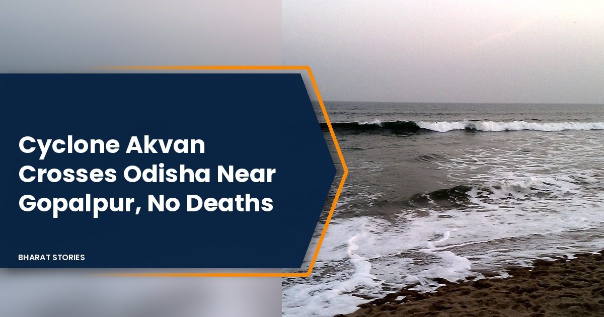
Featured image photo: Rishabh Tatiraju, Creative Commons Attribution ShareAlike 3.0 licence, via Wikimedia Commons. It shows waves on the beach at Gopalpur in Ganjam district, Odisha, and is used as an illustration; it was not taken during Cyclone Akvan.
Sources
- IMD hourly bulletin No. 11, 10:20 am IST, 20 November 2026: landfall point, time and wind, storm surge, observed rainfall.
- IMD press release No. 6, 3:30 pm IST, 20 November 2026: weakening to cyclonic storm, deep depression position.
- IMD (RSMC New Delhi) National Bulletin No. 42, 1:15 am IST, 21 November 2026: well marked low, warnings for 21 November, last bulletin.
- BusinessLine (PTI), 20 November 2026: IMD 11:20 am bulletin, landfall complete.
- The Times of India, 20 November 2026: Mohapatra on timing, no deaths, crop damage, flights, schools, rain after landfall.
- Hindustan Times, 20 November 2026: reasons for weakening, trains and buses.
- The Indian Express, 21 November 2026: Anu Garg on evacuation, waterlogging, rivers, pregnant women.
- The Hindu live updates, 21 November 2026: Pujari on damage, 4.40 lakh shifted, Mohapatra on sea temperature, no flood threat.
- The Telegraph, 21 November 2026: Ganjam evacuees, rescue teams, shelters, Assembly adjourned.
- Business Standard, 21 November 2026: red and orange zones, Mayurbhanj.
- The Hindu, 20 November 2026: Srikakulam rain, Bahuda river, Visakhapatnam erosion, Andhra forecast.