


Cyclone Akvan landfall is likely on the Andhra Pradesh and Yanam coasts between Nellore and Tuni around noon on Friday, 20 November 2026, as a very severe cyclonic storm with sustained winds of 120 to 130 kmph gusting to 145 kmph, the India Meteorological Department (IMD) said in its National Bulletin No. 12 issued at 5:45 AM IST on Tuesday, 17 November. The IMD has put out an orange message cyclone alert for Andhra Pradesh and the adjoining south Odisha coast.
The IMD first named this landfall stretch on Monday, 16 November. Its latest bulletin also warns of a storm surge of 1 to 2 metres in six coastal Andhra districts and extremely heavy rain on 19 and 20 November.
Table of Contents
Where is Cyclone Akvan now?
At 2:30 AM IST on 17 November the cyclonic storm lay over the central parts of the south and adjoining westcentral Bay of Bengal, near latitude 12.2°N and longitude 85.7°E. It had stayed almost stationary for nine hours. That position is about 610 km east of Chennai, 660 km southeast of Machilipatnam, 670 km south southeast of Visakhapatnam and 790 km south of Gopalpur in Odisha.
Cyclone Akvan landfall: when and where?
The IMD expects the storm to move north northwest and become a severe cyclonic storm by Tuesday evening, then a very severe cyclonic storm around the morning of 19 November. It should then cross the coast between Nellore and Tuni around noon on 20 November. Here is the IMD track forecast in IST:
- 17 November, 11:30 PM: severe cyclonic storm, 95 to 105 kmph gusting to 115 kmph
- 19 November, 11:30 AM: very severe cyclonic storm, 115 to 125 kmph gusting to 140 kmph
- 20 November, 11:30 AM: very severe cyclonic storm near the coast, 120 to 130 kmph gusting to 145 kmph
- 20 November, 11:30 PM: weakens to a severe cyclonic storm over land
- 21 November, 11:30 PM: weakens to a depression
Nellore and Tuni are roughly 400 km apart, so the exact point is still open. The Hindu reported that current weather models point the system towards Machilipatnam, and that central Andhra is likely to take the hit again, as it did during Cyclone Murasu and Arnab. For how the storm formed over the past week, see our running Cyclone Akvan update.
Which districts face storm surge?
The IMD warns that a storm surge of 1 to 2 metres above the astronomical tide is very likely to flood low lying areas of Prakasam, Bapatla, Krishna, West Godavari, Konaseema and Kakinada districts at landfall. The peak surge is expected over Bapatla, Krishna and West Godavari from the morning to the afternoon of 20 November.
Distant Warning Signal No. II has been hoisted at Visakhapatnam, Gangavaram, Kakinada, Machilipatnam, Nizampatnam and Krishnapatnam ports, according to the IMD coastal bulletin from Visakhapatnam.
How much rain will Andhra Pradesh and Odisha get?
- Coastal Andhra Pradesh: heavy rain at isolated places on 18 November; heavy to very heavy rain at a few places and isolated extremely heavy rain (21 cm or more) on 19 and 20 November.
- Rayalaseema: heavy rain at isolated places on 19 and 20 November.
- North Tamil Nadu, Puducherry and Karaikal: heavy rain on 17 and 20 November, heavy to very heavy on 18 and 19 November.
- Odisha: heavy rain on 18 November, isolated heavy to very heavy rain from 19 to 21 November.
- Eastern Telangana: heavy to very heavy rain at isolated places on 20 November.
- Gangetic West Bengal, Jharkhand, Chhattisgarh, East Vidarbha and East Madhya Pradesh: isolated heavy rain between 19 and 21 November.
What damage does the IMD expect?
For coastal Andhra, the IMD lists major damage to thatched and kutcha houses, roofs and loose metal sheets blowing off, damage to power and communication poles, uprooted trees and major damage to standing crops, banana, papaya and coconut plantations. It also warns of flooded roads, disruption to rail, power lines and airports, and possible riverine and urban flooding. Winds along the Andhra coast are expected to rise to gale force from the evening of 18 November and reach 120 to 130 kmph from the night of 19 November.
Fishermen have been told not to go into the southwest and westcentral Bay of Bengal until 20 November. Coastal hut dwellers are to be moved to safer places.
How are Andhra Pradesh and Odisha preparing?
Chief Minister N. Chandrababu Naidu reviewed the situation at the Real Time Governance Society centre on Monday and told officials to deploy NDRF and SDRF teams in advance and keep power staff ready to restore supply quickly, Deccan Chronicle reported. Konaseema, Kakinada, East Godavari, West Godavari, Krishna, NTR and Guntur districts are on alert. The Fisheries department alerted all 12 coastal districts, and 30,635 of the state’s 30,808 fishing boats were back on shore by 10 AM on 16 November, The Hindu reported. Agriculture minister Kinjarapu Atchannaidu asked officials to keep farmers and fishermen on high alert, The Times of India reported.
Odisha has deployed 74 rescue teams, 60 from ODRAF and 14 from the NDRF, and started evacuating people from landslide prone areas of Ganjam, Gajapati, Kandhamal, Rayagada, Koraput and Malkangiri, disaster management minister Suresh Pujari said, PTI reported via Rediff. Bhubaneswar Meteorological Centre director Manorama Mohanty said no red warning had been issued for the state this time.
Why is Andhra worried about a third cyclone?
Akvan, a name proposed by Iran, is the third cyclone in the North Indian Ocean this year, The Indian Express noted, and it comes after Arnab and Murasu hit the state within weeks. Many of the districts now on alert are rich paddy areas that took the brunt of both earlier storms. For background on the state’s coast and districts, read our guide to Andhra Pradesh.
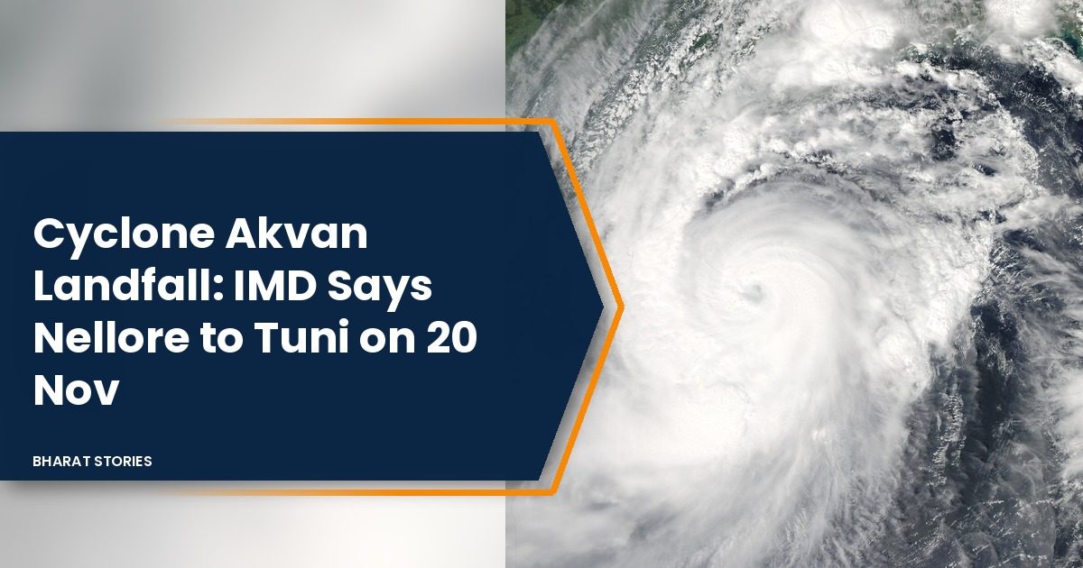
Featured image: NASA satellite photo of Cyclone Hudhud over the Bay of Bengal on 11 October 2014 (Jeff Schmaltz, LANCE/EOSDIS), public domain, via Wikimedia Commons. It is used as an illustration of a Bay of Bengal cyclone; it is not Cyclone Akvan.
FAQ
Will Cyclone Akvan hit Visakhapatnam?
The IMD’s landfall stretch is between Nellore and Tuni, which lies south of Visakhapatnam. The city may still get rain and strong winds as the storm nears.
Is there a red alert for Odisha?
No. Odisha has orange and yellow rain warnings for 18 to 21 November, according to the Bhubaneswar Meteorological Centre.
Sources
- IMD National Bulletin No. 12, 5:45 AM IST, 17 November 2026: position, track, landfall, rain, wind, surge, damage.
- IMD Cyclone Warning Centre Visakhapatnam coastal bulletin, 17 November 2026: port signals.
- The Hindu, 16 November 2026: districts on alert, fishing boats, model track.
- Deccan Chronicle, 16 November 2026: Chandrababu Naidu review, NDRF and SDRF.
- The Times of India, 16 November 2026: Atchannaidu review.
- Rediff (PTI), 17 November 2026: Odisha rescue teams, evacuation, Manorama Mohanty.
- The Indian Express, 17 November 2026: name, third cyclone of the year.