

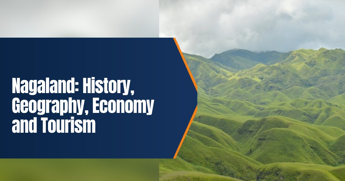
Nagaland: History, Geography, Economy and Tourism
Nagaland is a hill state in the far northeast of India, bordered by Assam, Arunachal Pradesh, Manipur and Myanmar. It is home to many Naga tribes, each with its own language, dress, songs and festivals, and it is known across the world for the Hornbill Festival every December. This guide explains the history of Nagaland, its geography, its people and culture, how its economy works and what visitors should know before a trip in 2026.
Table of Contents
Nagaland at a Glance
| Item | Detail |
|---|---|
| Statehood | 1 December 1963 |
| Capital | Kohima |
| Largest commercial town | Dimapur |
| Area | 16,579 square kilometres |
| Population | 1,978,502 (Census 2011) |
| Districts | Seventeen |
| Official language | English, with Nagamese as the common link language |
| Highest point | Mount Saramati, about 3,826 metres |
| Chief Minister | Neiphiu Rio, since March 2018 |
History of Nagaland
The Naga villages
For centuries the Naga people lived in independent hilltop villages. Each village was a small republic with its own council, land and defence. Some tribes, such as the Angami, chose leaders through village elders, while others, such as the Konyak, had hereditary chiefs called Angh. Villages were often built on ridges for safety, and the morung, a large dormitory for young men, served as a school where boys learned history, crafts, war skills and the rules of the community.
The Ahom kings of Assam traded and sometimes fought with Naga villages in the foothills, but they never ruled the interior hills. Oral history, songs and carved wooden posts were the main ways that the past was remembered, since most Naga languages had no written script before the nineteenth century.
British rule
The British came into contact with the Naga hills after they took over Assam in 1826. For several decades they sent military expeditions into the hills, and Naga villages resisted strongly. The Angami village of Khonoma fought one of the last major battles against the British in 1879 and 1880. The Naga Hills district was created in 1866, and Kohima became its headquarters in 1878. American Baptist missionaries arrived in the late nineteenth century, introduced the Roman script for Naga languages and opened schools. Today most Nagas are Christian, largely Baptist.
The Battle of Kohima
In 1944, during the Second World War, Japanese forces crossed from Burma and tried to capture Kohima to cut the road to Dimapur. From April to June, British and Indian troops held the ridge around the Deputy Commissioner’s bungalow, with fighting so close that the two sides were separated at one point by a tennis court. The Japanese advance was stopped, and the battle is often counted among the most important of the war in Asia. Many Naga villagers helped the Allied troops as guides and porters. The Kohima War Cemetery, on the old battlefield, is looked after by the Commonwealth War Graves Commission.
Statehood and after
The Naga National Council, led by Angami Zapu Phizo, declared Naga independence on 14 August 1947, a day before India’s own independence, and a long armed conflict followed. After talks with moderate Naga leaders, the Sixteen Point Agreement of 1960 led to the State of Nagaland Act, 1962. Nagaland became the sixteenth state of India on 1 December 1963. Article 371A of the Constitution protects Naga customary law, religious and social practices, and the ownership and transfer of land.
Peace efforts have continued for decades. A ceasefire with the NSCN (IM) has been in place since 1997, and a Framework Agreement was signed with the Centre in 2015, though a final settlement has not yet been reached. In October 2026 the President gave assent to the Frontier Nagaland Territorial Authority Bill, which creates a new body for six eastern districts that have long asked for more say over their own development.
Geography and Climate
Nagaland is almost entirely hilly. Ranges of the Patkai and Naga Hills run through the state, rising towards the Myanmar border in the east, where Mount Saramati reaches about 3,826 metres. The only large stretch of flat land lies around Dimapur, close to the Assam plains.
- Rivers. The Doyang, Dhansiri, Dikhu, Tizu and Zungki drain the state, most of them flowing towards the Brahmaputra.
- Forests. A large share of the state is under forest, much of it owned by villages and clans rather than the government.
- Dzukou Valley. A high grassy valley on the border with Manipur, famous for its seasonal lilies and popular with trekkers.
- Wildlife. Ntangki National Park and the Fakim and Puliebadze sanctuaries protect birds, hoolock gibbons and other species. Several villages, such as Khonoma, now protect their forests and have banned hunting.
The climate is pleasant for much of the year. Summers in Kohima are mild, winters are cold and dry, and the monsoon brings heavy rain from about May to September. Landslides can close roads during this time.
People, Language and Culture
Major Naga tribes include the Angami, Ao, Chakhesang, Chang, Khiamniungan, Konyak, Lotha, Phom, Pochury, Rengma, Sangtam, Sumi, Yimkhiung and Zeliang, along with the Kuki and Kachari communities. Each speaks its own language, and people from different tribes often talk to each other in Nagamese, a simple language based on Assamese, or in English, which is the official language of the state.
Shawls are one of the clearest signs of identity, since their colours and patterns show tribe, clan and sometimes social standing. Music, folk dances, log drums and wood carving remain important. Festivals follow the farming cycle: Sekrenyi of the Angami in February, Moatsu of the Ao in May, Aoleang of the Konyak in April and Tuluni and Ahuna of the Sumi. Read more in our story on how the Sumi tribe celebrates Ahuna.
Food is simple and full of flavour. Smoked pork, bamboo shoot, axone (fermented soybean) and the fiery Naga King Chilli, known locally as Raja Mircha, are common. The chilli received a Geographical Indication tag in 2008.
Economy of Nagaland
Farming supports most families. Many villages still practise jhum, or shifting cultivation, on hill slopes, along with terraced rice fields, the best known of which are around Khonoma and in the Chakhesang areas. Rice, maize, millets, ginger, cardamom, oranges and pineapples are major crops, and the state has been promoting organic farming because chemical use has always been low.
Industry is small. Dimapur is the main trading hub, with the main railway station and the only airport in the state. Government jobs, small businesses, handloom, handicrafts and tourism make up much of the rest of the economy. Bamboo is plentiful, and the state has backed bamboo products and food processing as ways to create jobs. Oil reserves exist in the Wokha and Mon areas, but production has been stalled for years over questions of land ownership and royalty under Article 371A.
Roads are the biggest challenge. Travel between district headquarters can take many hours, and better connectivity, including a new rail line towards Kohima, has been under construction for several years.
Tourism in Nagaland
The Hornbill Festival is the main event of the year. It is held from 1 to 10 December at the Kisama Heritage Village, about 12 kilometres from Kohima, where each tribe has a traditional house, or morung. Since it began in 2000 it has grown into a ten day display of dances, music, food, crafts, sports and a rock contest. In October 2026 the Chief Minister reviewed preparations for the 2026 edition, which again runs from 1 to 10 December.
- Kohima. The War Cemetery, the State Museum and the old Kohima village.
- Khonoma. A green village with terraced fields and community run homestays.
- Dzukou Valley. A trek of a few hours from Viswema or Zakhama leads to rolling meadows.
- Mokokchung. The cultural centre of the Ao people.
- Mon. Konyak villages such as Longwa, which straddles the India and Myanmar border.
Nagaland shares much of its culture with Naga areas in a neighbouring state. See our guide to Manipur’s history, geography and tourism.
Travel Tips for 2026
Indian visitors from outside the state need an Inner Line Permit, which can be applied for online on the Nagaland ILP portal or at entry points. Since December 2019 the permit has been required in Dimapur as well. Foreign visitors should check the current Protected Area Permit rules before planning trips to remote districts. October to May is the best time to visit. Most travellers arrive through Dimapur or by road from Guwahati, the gateway in neighbouring Assam. For that side of the border, read our guide to Assam’s history, geography and economy.
Frequently Asked Questions
When did Nagaland become a state?
Nagaland became the sixteenth state of India on 1 December 1963.
What is the capital of Nagaland?
Kohima is the capital, while Dimapur is the largest commercial town.
When is the Hornbill Festival?
It is held every year from 1 to 10 December at Kisama, near Kohima.
Do Indian tourists need a permit for Nagaland?
Yes. Visitors from other states need an Inner Line Permit, which can be applied for online.