

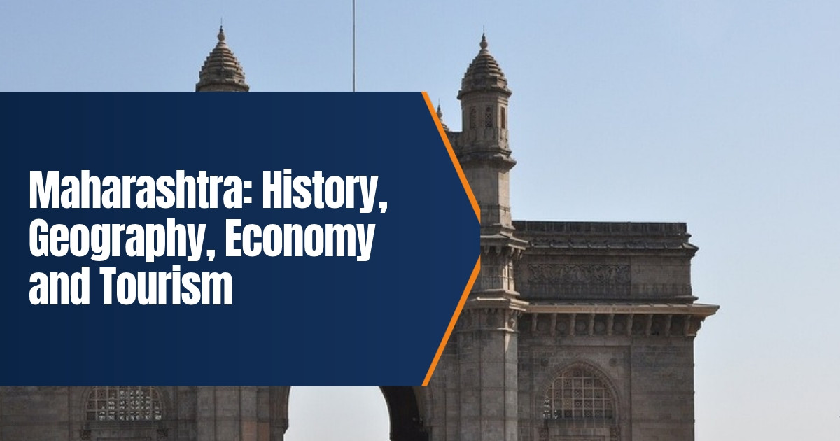
Maharashtra: History, Geography, Economy and Tourism
Maharashtra is India’s third largest state by area and its second most populous. It is home to Mumbai, the country’s financial capital, and to some of its oldest cave temples, strongest forts and best known festivals. This guide explains the history of Maharashtra, its geography and climate, how its economy works, its culture, and the main places to visit in 2026.
Table of Contents
Maharashtra at a Glance
| Item | Detail |
|---|---|
| Formed | 1 May 1960 (Maharashtra Day) |
| Capital | Mumbai, with Nagpur as the winter capital |
| Area | 307,713 square kilometres, third largest state |
| Population | 112,374,333 (Census 2011), second largest |
| Districts | 36, grouped into 6 divisions |
| Official language | Marathi |
| Main rivers | Godavari, Krishna, Bhima, Tapi |
| Chief Minister | Devendra Fadnavis, since December 2024 |
Where the Name Comes From
The word Maharashtra is usually explained as “great nation” or “great country”, from the Sanskrit maha (great) and rashtra (nation). Some scholars link it to the Maharathi, a group of chiefs mentioned in early inscriptions. Prakrit texts from the early centuries CE already refer to a language called Maharashtri, an ancestor of modern Marathi.
History of Maharashtra
Early settlements
Farming villages of the Jorwe culture, named after a site in Ahmednagar district, flourished in the region more than three thousand years ago. The largest of these settlements was Daimabad, which had a mud wall and an elliptical temple with fire pits. The region later came under the Mauryan Empire, and Buddhist monks began cutting rock shelters into the hills.
Satavahanas, Vakatakas and Chalukyas
From about the second century BCE the Satavahanas ruled much of the Deccan from Pratishthana, today’s Paithan. Trade with the Roman world passed through western coastal ports, and the Buddhist caves at Karla, Bhaja and Ajanta grew under royal and merchant patronage. The Vakatakas added some of the finest Ajanta paintings in the fifth century. Later the Chalukyas and the Rashtrakutas held power. The Rashtrakutas are linked with the great Kailasa temple at Ellora, carved from a single rock. The Chinese traveller Xuanzang, who passed through the Deccan in the seventh century CE, wrote about its prosperous people.
Yadavas and the Sultanates
The Yadavas of Devagiri ruled from the twelfth to the early fourteenth century. Their capital, later renamed Daulatabad, was taken by the Delhi Sultanate. Muhammad bin Tughluq briefly moved his capital there from Delhi. The Bahmani Sultanate and then the Deccan Sultanates of Ahmadnagar and Bijapur ruled large parts of the region in the following centuries.
The Maratha period
In the seventeenth century Chhatrapati Shivaji Maharaj built an independent Maratha state using hill forts and a strong navy. He was crowned at Raigad in 1674. After his death the Marathas fought a long war against the Mughals and then expanded across much of India under the Peshwas, who ruled from Pune. The Third Battle of Panipat in 1761 checked their northern advance, and the Anglo Maratha wars ended with British victory in 1818.
British rule and statehood
Under the British, most of western Maharashtra was part of the Bombay Presidency, while Nagpur became part of the Central Provinces. Bombay grew into a great port and textile city. Leaders such as Bal Gangadhar Tilak, Gopal Krishna Gokhale, Jyotirao Phule and Dr B R Ambedkar shaped national and social reform movements from here. After independence, the Samyukta Maharashtra movement demanded a Marathi speaking state with Mumbai as its capital. The protests cost 106 lives. On 1 May 1960 Bombay State was split into Maharashtra and Gujarat, a date now celebrated as Maharashtra Day.
Geography of Maharashtra
Maharashtra stretches from the Arabian Sea coast to the forests of central India. It can be divided into a few clear regions:
- Konkan. A narrow coastal strip about 720 kilometres long, with creeks, beaches and heavy monsoon rain.
- Western Ghats. Called the Sahyadri, these hills run parallel to the coast and hold hill stations such as Mahabaleshwar, Matheran and Lonavala.
- Deccan Plateau. Most of the state sits on this black soil plateau, formed from ancient lava flows.
- Vidarbha. The eastern region around Nagpur, with teak forests and tiger reserves.
- Marathwada. The central region around Chhatrapati Sambhajinagar, often hit by drought.
The Godavari and Krishna are the two biggest rivers, both rising in the Western Ghats and flowing east to the Bay of Bengal. Rainfall varies greatly. Coastal districts such as Ratnagiri and Sindhudurg receive 2,000 to 2,500 millimetres a year, and Mahabaleshwar gets over 5,000 millimetres, while rain shadow districts such as Solapur and Ahmednagar receive less than 1,000 millimetres. This makes water management a constant concern.
People, Language and Culture
Marathi is the official and most widely spoken language, while Mumbai is home to speakers of almost every Indian language. Hindus form the majority, with large Muslim, Buddhist, Jain and Christian communities.
Culture is deeply tied to festivals and the arts. Ganeshotsav, the public Ganesh festival that Tilak promoted in the 1890s, fills streets with pandals every year. Gudi Padwa marks the Marathi new year, and the Pandharpur Wari sees lakhs of pilgrims walk to the Vithoba temple. Folk forms such as Lavani, Powada ballads and Tamasha theatre remain popular. Marathi theatre and literature are strong, and Mumbai is the centre of the Hindi film industry.
Food differs by region. Vada pav and pav bhaji are Mumbai favourites, puran poli is a festival sweet, misal pav comes from Pune and Kolhapur, and the Konkan coast is known for fish curry with kokum.
Economy of Maharashtra
Maharashtra has the largest state economy in India and accounts for about 14 percent of national output. Its strengths are spread across several sectors:
- Finance. Mumbai hosts the Reserve Bank of India, the Bombay Stock Exchange and the National Stock Exchange.
- Industry. Pune, Nashik, Aurangabad and the Mumbai region make cars, engineering goods, chemicals and medicines.
- Services and technology. Pune and Navi Mumbai are major hubs for software and back office work.
- Films and media. Mumbai is the base of the Hindi film and television industry.
- Agriculture. Sugarcane, cotton, soybean, onions, grapes and Alphonso mangoes are key crops. Farming produces about 12 percent of state output but employs nearly half of all workers.
The state also faces challenges. Farmers in Vidarbha and Marathwada are hit by drought and price swings, and Mumbai faces housing pressure and monsoon flooding. Large transport projects, including the Mumbai Trans Harbour Link, the Samruddhi Expressway and the Navi Mumbai International Airport, are meant to ease congestion and spread growth.
Tourism in Maharashtra
Maharashtra has more UNESCO World Heritage Sites than most Indian states. They include the Ajanta and Ellora caves, the Elephanta Caves near Mumbai, the Chhatrapati Shivaji Maharaj Terminus railway station, the Victorian Gothic and Art Deco buildings of Mumbai, and parts of the Western Ghats. In July 2025 the Maratha Military Landscapes, a group of twelve forts, joined the list. Eleven of them are in Maharashtra, including Raigad, Rajgad, Pratapgad, Sindhudurg and Shivneri.
Popular places to visit
- Mumbai. Gateway of India, Marine Drive, Elephanta Caves and the old Fort district.
- Ajanta and Ellora. Rock cut caves near Chhatrapati Sambhajinagar, with Buddhist paintings and the Kailasa temple.
- Pune. Shaniwar Wada, the Aga Khan Palace and nearby forts such as Sinhagad.
- Hill stations. Mahabaleshwar, Panchgani, Lonavala and Matheran, where cars are not allowed.
- Konkan coast. Beaches at Alibag, Ganpatipule and Tarkarli, and the sea fort of Sindhudurg.
- Wildlife. Tadoba Andhari Tiger Reserve and Pench in Vidarbha.
- Pilgrim sites. Shirdi, Pandharpur, Nashik, Trimbakeshwar and the Jyotirlinga temples.
Best time to visit
October to March is the most comfortable season for most of the state. The monsoon from June to September turns the Western Ghats green and brings waterfalls, but coastal travel and trekking can be risky in heavy rain. Summers on the Deccan Plateau and in Vidarbha are very hot.
For more reading, see our piece on the Lavani folk dance of Maharashtra, our guide to Ganesh Chaturthi, and our profile of Gujarat’s history and economy.
Mumbai’s suburban trains carry millions of people a day, so avoid peak hours if you have luggage.
Many forts involve steep climbs, so carry water and wear good shoes.
The Ajanta Caves are usually closed on Mondays and Ellora on Tuesdays, so plan your days around that.
Frequently Asked Questions
When was Maharashtra formed?
On 1 May 1960, when Bombay State was split into Maharashtra and Gujarat.
What is the capital of Maharashtra?
Mumbai is the capital, and Nagpur is the winter capital.
How many districts are there in Maharashtra?
There are 36 districts in six divisions.
Which UNESCO sites are in Maharashtra?
Ajanta, Ellora, Elephanta, the Mumbai railway terminus, the Victorian Gothic and Art Deco ensembles, parts of the Western Ghats and eleven Maratha forts.
What is the best time to visit Maharashtra?
October to March for most places, and the monsoon for the Western Ghats if you travel with care.